361. Mollonghip-Barkstead, Wombat State Forest, 13km, circuit
U3A Hike # 361
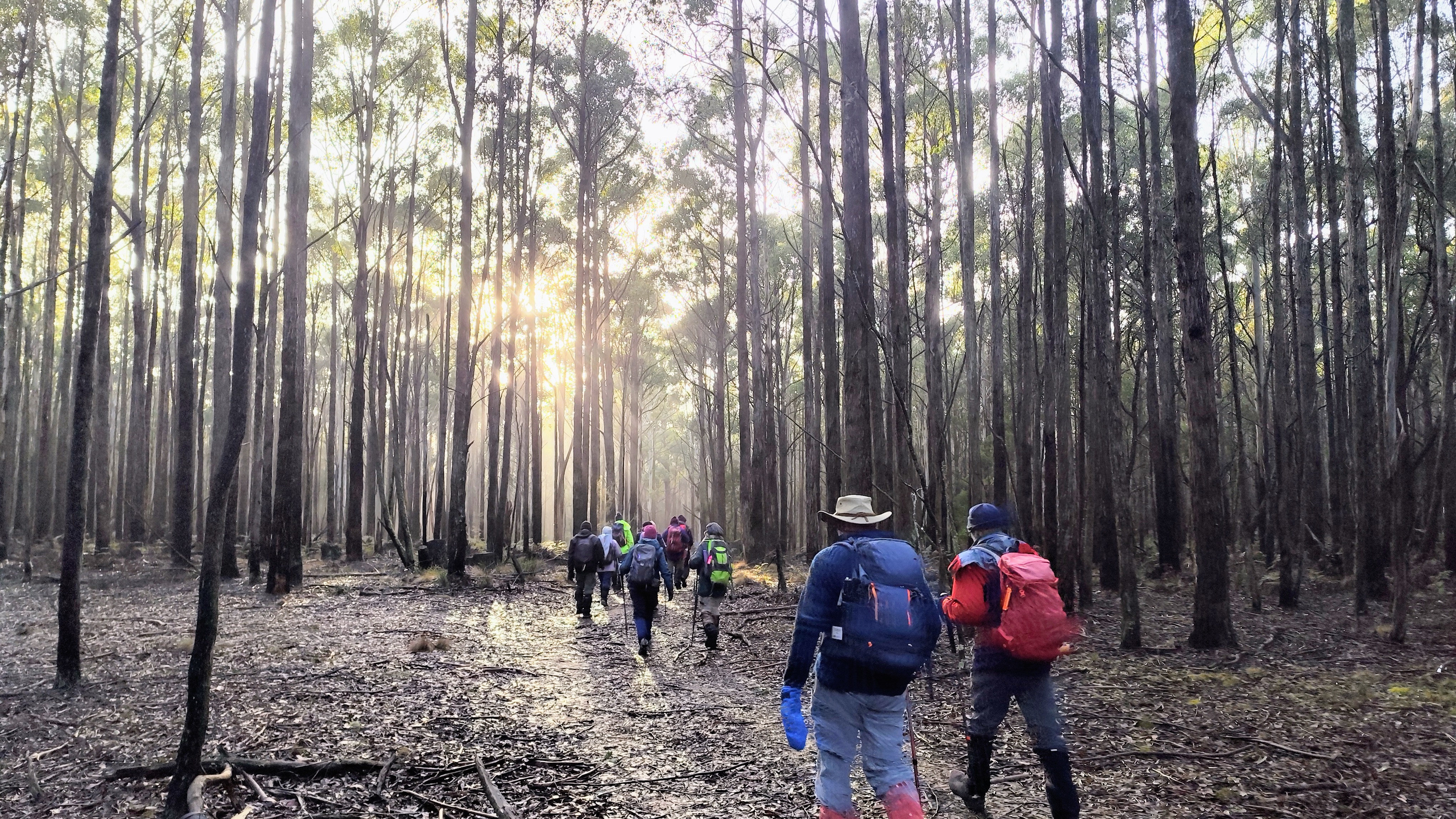
One misty moisty morning when cloudy was the weather....* 12 hardy hikers clad in beanies, gloves, toe socks, sturdy boots, various woolly layers, coats and scarves set off on icy roads from Kirks Reservoir to Mollongghip. Once arrived we parked behind a farmlet and managed to stand still long enough for a short briefing before setting off up a foggy, treed track. (There was every chance we could be convincingly lost in that fog)
Ably led by Kim Radenic, we headed in a clockwise direction around what became a 13km loop. (figures accurate at the time of writing) Along the way Andrew filled us in on the remains of the logging tramway, initially, horse drawn and later purpose built locomotives and used to transport logs to Anderson's Sawmill in Barkstead.
The recent rains had encouraged the growth of various coloured fungi, lots of moss and tree trunks festooned with lichen. After negotiating soggy bush tracks, sections of roadway and some cross country clambering over lots of loose material underfoot, we reached Mullins Dam, our morning tea spot. By this time the fog had cleared to reveal a clear blue sky and moments of sun induced warmth. Amazing. The signage assured us of abundant birdlife here abouts, including powerful owls, willie wagtails and sulphur crested cockatoos - all sensibly tucked up in their chosen cosy nests.
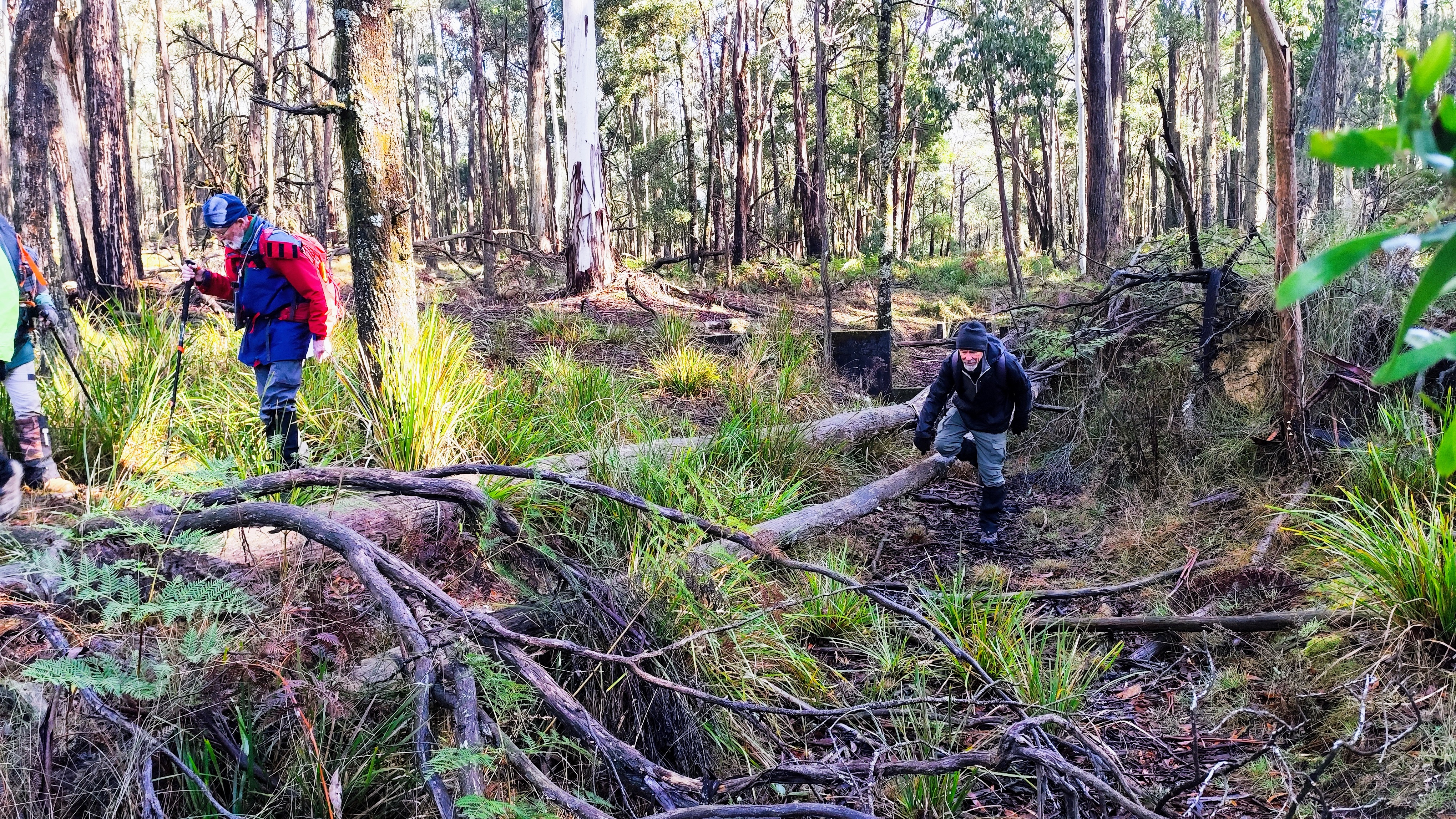
Navigating our way around puddles and mud, we came upon further evidence of past endeavours, an old pipeline and a now reedy dam used in gold mining operations. The next section involved crawling under, clambering over, and scooting around various obstacles to reach an old mine and the remnants of a stone wall. Not immediately obvious, this wall, so we sent our scout Geoff off,** to scramble through the bracken and blackberry. He did survive, and locate the moss covered pile of rocks, which encouraged more of the group to follow.
This achieved we retraced our steps, strode up a road and arrived in the quaint little settlement of Barkstead, featuring some quirky buildings and gardens and right on cue, barking dogs. The Dangerous Dog signage kept us moving though, to a large area of ground covered with old sawdust. It was deep and could swallow up your walking pole, as demonstrated by Andrew - using Ingrid's walking pole.
Onward we ventured, through tall timbers and past discarded logs, pausing at a taped off area, signifying dangerous mine shafts, disguised in the undergrowth. One glance was enough to heed Kim's 'Stay Clear Of This' advice so we continued wending our way, single file, around 3 or so kms of the Goldfields Track. And then there it was, the completion of the loop - our starting point and a well deserved lunch.
This was a very picturesque walk, with a plethora of interesting natural and man made features.
Thankyou to Kim for his leadership, the drivers for negotiating icy roads and Andrew and Gordon for sharing their considerable knowledge.
* !7th century folk song adapted and sung by Steeleye Span.
** Well we would have sent Geoff off had he not already disappeared into the undergrowth
Photos by Andrew Parker
LINKS


Comments
Post a Comment