
Mollongghip Barkstead Circuit Hike
U3A Hike No 109


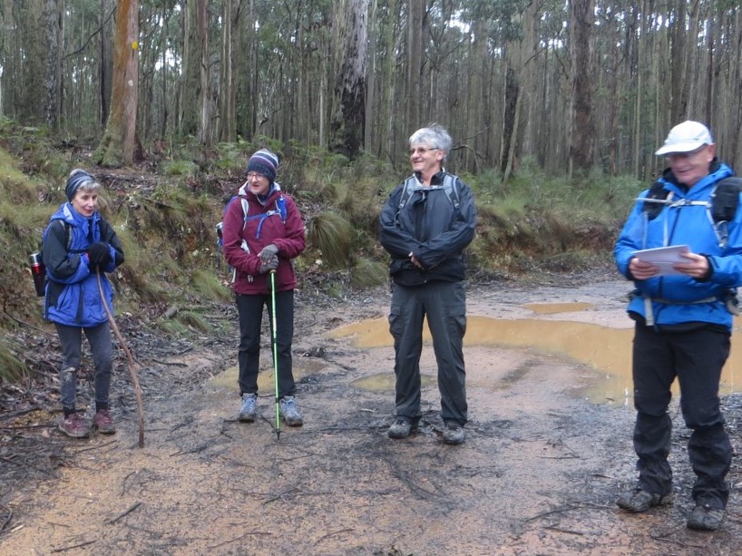
Twenty-four hikers in three groups was a very good turnout considering the weather forecast!
* Indicates that there are links to historical reports after the photos
Hike Reports:
We went off track
to view what we believed to be the remnants of the *Barkstead Gold Mining
Battery close to Mullens Dam, where we enjoyed our morning tea seated on a
cushioning moss-covered log.
Another highlight was the remains of the *Anderson Tramway route where a steam loco hauled logs to the Anderson Sawmill.
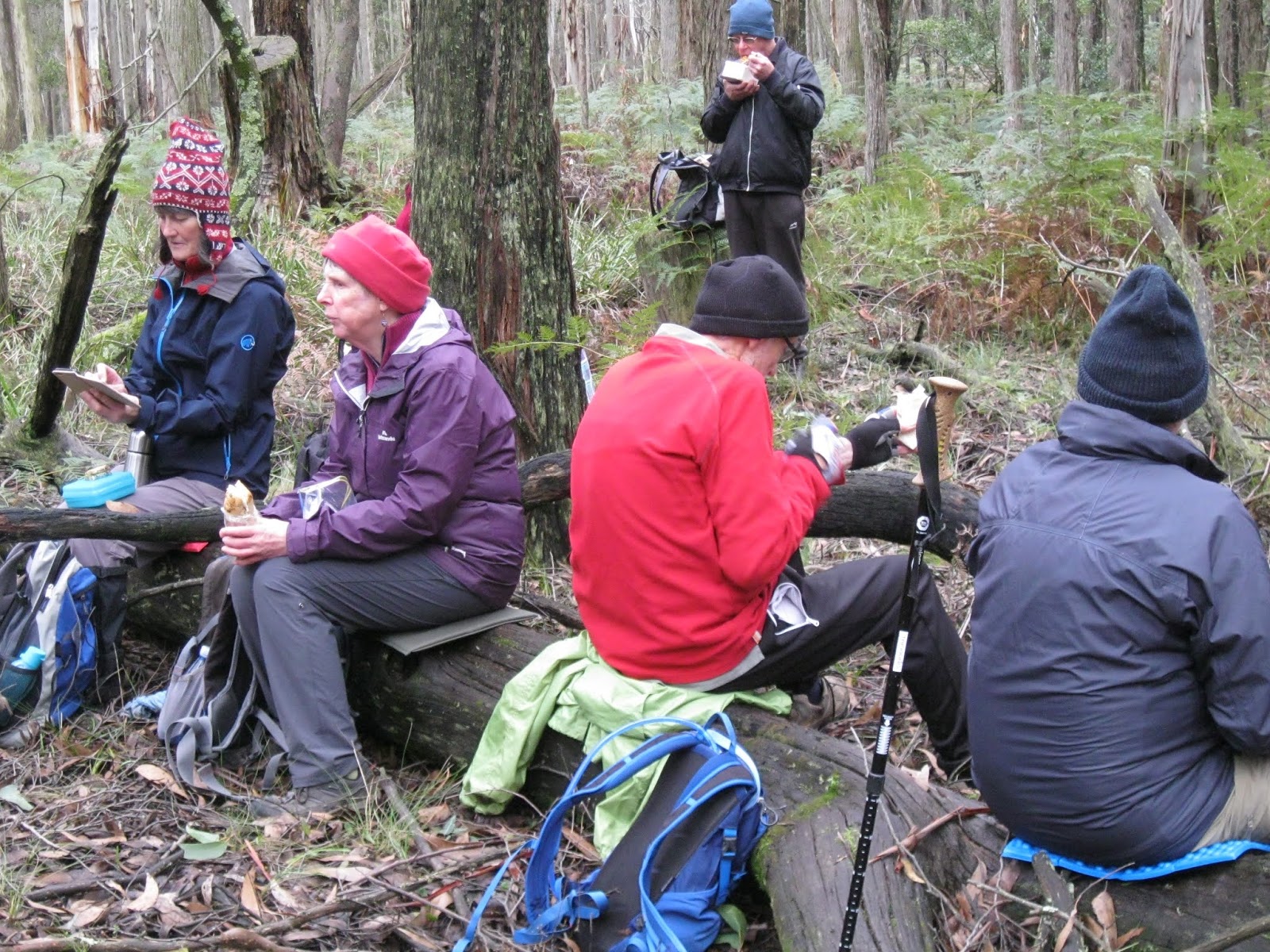
Five of us sheltered under pine trees at the finish for an inner core warming coffee and lunch. The hike of approx. 13.5 kms. saw us gain about 227 mtrs. in elevation over 3.5 hrs. using a combination of the Wallaby Track, gravel and sealed roads.
Tim's navigational skills and historical information along the route, along with the camaraderie within our group, made this a memorable adventure.
Our group experienced a delayed start, with one Hiker confusing Daylesford with Dean, and the leader of the group trying to drive along the walking trail after refusing to believe that the car-parking area was ‘down that house's drive-way’!
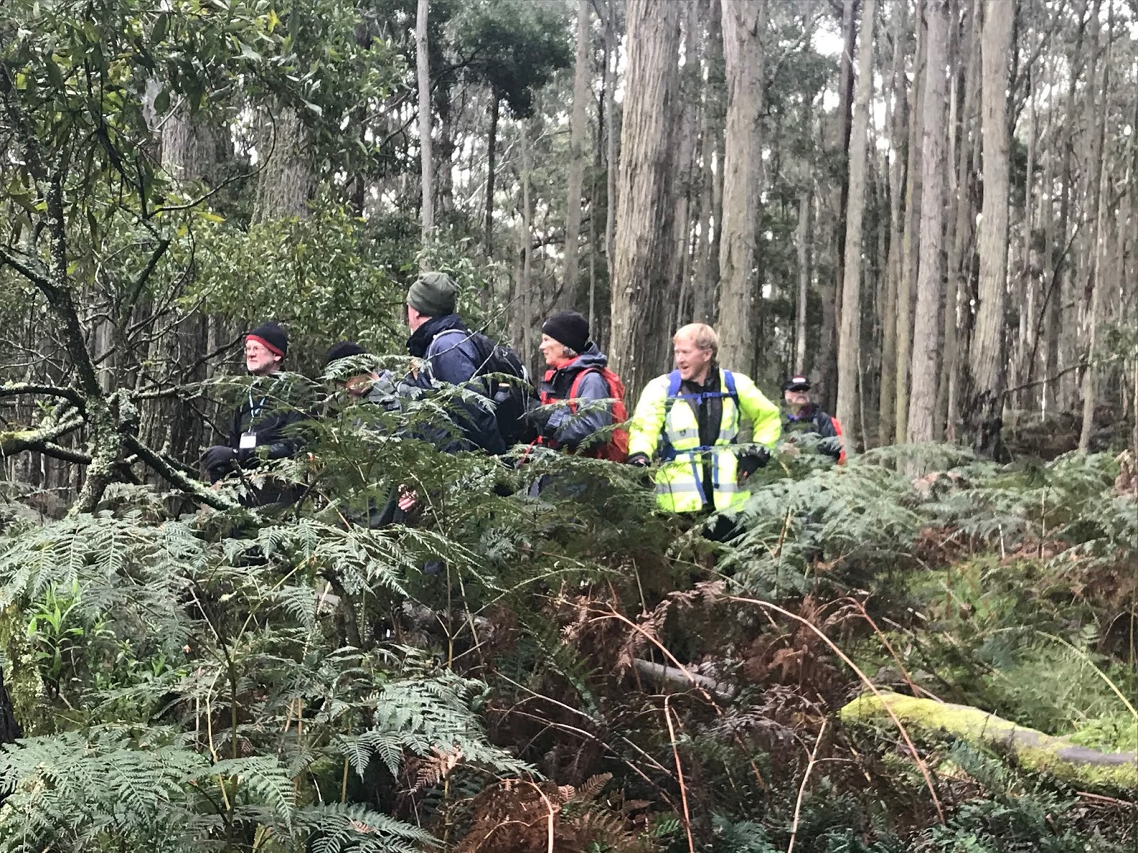
We finally set off on the hike, dressed for anything that the weather could throw at us, but we were pleased to find all the rain had fallen the night before. The initial bush tracks were determined to not agree with the GPS unit but became more compliant when threatened with a map and compass. Andrew’s regular phone calls from the leading Blue group provided useful extra information on the tracks ahead of us.
We spent our morning tea break at Mullens Dam, an old mining dam, discussing how the dam was constructed and how water would have been released for use. Later in the hike, after wading through scrub along a non-existent trail, we arrived below the breached wall of the Barkstead Mine Dam and found the remains of its water outlet system. Further wading through dense scrub brought us to a high dressed stone wall, the remains of the mine. Fortunately, we did not find the old mineshaft.
Barkstead village was isolated and deserted and aptly named as every house had a dog to greet us as we passed through. Perhaps the passage of successive groups of hikers had spooked the local residents and they were hiding indoors, peering around curtains. (There were no banjos).
The final section of the walk was along the Andersons timber tramway system: no big hills, no navigation problems, back to the cars with no rain.
Photos by Mark, Alan, Andrew, Chris, Geoff, Gordon and Marianne.
Blue Group Hike Report by
Jenette
Callow
The 8 am gathering of the Blue Group saw
us driving to our starting point at Mollongghip in rather cold, damp
and misty conditions. It was commented by a member of the
group that Dick was actually going to wear a raincoat! An indication of the
possible weather conditions?
A large mob of kangaroos looked on as we
made our way from the village hoping to find where
the *Barkstead Battery once stood. Despite
Andrew’s meticulous research into the whereabouts of this once large
structure, it was not to be found. After morning tea, Andrew lead us off track to the densely, moss covered
remaining wall of the former Barkstead Mine.
Continuing off track then on track,
we arrived at the once thriving woodcutter's village
of *Barkstead. A short walk to one side brought us to a low
depression covered in age old sawdust. This was the site of the *Anderson Timber
Mill. The mill once had 29kms of tram line running to the Mill and the remnant
cuttings were viewed as we made our way back to our vehicles along the Wallaby
Track.
During lunch, sheltering as best we
could from the cold breeze, we observed a pair of Wedgetail eagles drifting on
the air currents above the bush in the distance.
Although a cold and at times slippery
walk we stayed dry and saw many varied fungi, mosses and lichens, along with
the wonderful colours and textures of the Wombat Forest.
Thank you to Andrew for guiding us and
the interesting historical commentaries.
Gold Group Hike Report by Alan Pittard
Our Gold Group of nine, independently travelled to the Dean
Community Hall rendezvous point before convoying 7 km east to the Wallaby Track
near Mollongghip for the start of our hike in the Wombat State Forest,
proclaimed in 1871.
Another highlight was the remains of the *Anderson Tramway route where a steam loco hauled logs to the Anderson Sawmill.
Five of us sheltered under pine trees at the finish for an inner core warming coffee and lunch. The hike of approx. 13.5 kms. saw us gain about 227 mtrs. in elevation over 3.5 hrs. using a combination of the Wallaby Track, gravel and sealed roads.
Tim's navigational skills and historical information along the route, along with the camaraderie within our group, made this a memorable adventure.
White Group
Hike Report by Gordon Talbett
Our group experienced a delayed start, with one Hiker confusing Daylesford with Dean, and the leader of the group trying to drive along the walking trail after refusing to believe that the car-parking area was ‘down that house's drive-way’!
We finally set off on the hike, dressed for anything that the weather could throw at us, but we were pleased to find all the rain had fallen the night before. The initial bush tracks were determined to not agree with the GPS unit but became more compliant when threatened with a map and compass. Andrew’s regular phone calls from the leading Blue group provided useful extra information on the tracks ahead of us.
We spent our morning tea break at Mullens Dam, an old mining dam, discussing how the dam was constructed and how water would have been released for use. Later in the hike, after wading through scrub along a non-existent trail, we arrived below the breached wall of the Barkstead Mine Dam and found the remains of its water outlet system. Further wading through dense scrub brought us to a high dressed stone wall, the remains of the mine. Fortunately, we did not find the old mineshaft.
Barkstead village was isolated and deserted and aptly named as every house had a dog to greet us as we passed through. Perhaps the passage of successive groups of hikers had spooked the local residents and they were hiding indoors, peering around curtains. (There were no banjos).
The final section of the walk was along the Andersons timber tramway system: no big hills, no navigation problems, back to the cars with no rain.
Photos by Mark, Alan, Andrew, Chris, Geoff, Gordon and Marianne.


Historical Newspaper Links
Detailed Reports


Comments
Post a Comment