Posts

Showing posts from January, 2024

287. Frith Gully - Mt Misery Loop. Enfield State Park

Image
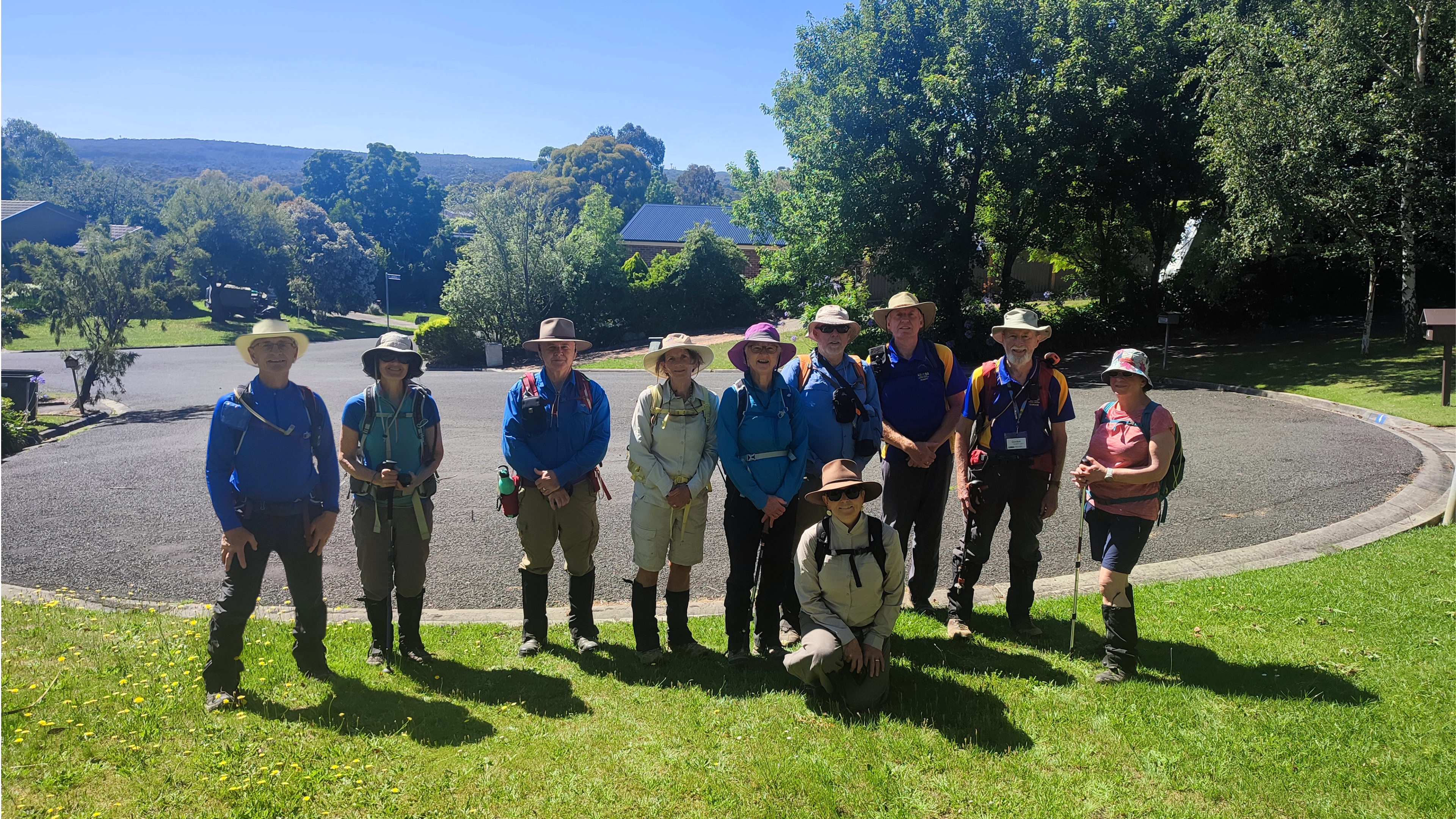
 U3A Hike No 287 Hike Report by Colin Fraser Eight hikers assembled outside the Marty Busch Reserve in Sebastopol for an 11.5 km hike on the Frith Gully-Mt Misery Loop in the Enfield State Park. We travelled in two vehicles to the start of the walk at Bald Hill on Incolls Road, Enfield. The walk was graded as moderate, and described as continuously hilly. We walking paths and rough bush roads through isolated parts of the park. There were deep gullies with lush vegetation, high ridges with open scrub, and areas that still bear the scars of extensive surface mining in the 19th century. We followed Misery Creek Road south then the Misery Creek and Forest Park walking tracks to Surface Point Picnic Ground, where we had smoko. Before arriving at Surface Point we were accompanied overhead by the raucous alarm calls of a group of cockatoos warning of our intrusion into their forest. Coincidently this occurred just near Mt Cockatoo!! We shared the picnic table with a man who was camping there

286. Nerrina Historic Area and Glen Park State Forest 10.9km

Image
 U3A Hike No 286 Hike Report by Don Moss A group of sixteen walkers met in Lofven St then drove down the dirt road of Deveson Lane to park on the side of the road. It was the largest gathering for many months, perhaps the sign of New Year resolutions? Sharon and Deb were among those welcomed to join the intrepid explorers.   We started by walking back up Lofven then turned into Monte St to the start of the Nerrina Heritage area. The name Nerrina apparently derived from an aboriginal word, and was known as Little Bendigo for a time, when gold miners were returning from Bendigo. The Little Bendigo primary school remains, and though not surrounded by houses, has continued in a rather handsome building. It was originally established as an Anglican school in 1858, until taken over by the Education department in 1874 after the Education Act stopped funding to denominational schools. Around the corner in Monte St stands the well-preserved St James Church of England building (Est 1864),

285. Mt Clear-Mt Helen 12.2km Loop Hike

Image
 U3A Hike No 285 Hike Report by Andrew Parker A beautiful January morning saw ten keen hikers begin by walking south from Hocking Avenue, down the Canadian Creek, Mt Clear. We were pleased to welcome Deb to the group, one of the new members for 2024. We left the creek at Olympic Ave and walked up to, and crossed Geelong Road before heading further west down Jones Ave past many picturesque 'lifestyle blocks' nestled in the bush. Eventually, after walking uphill for some distance we reached the highest point of our walk (500 metres) and stopped for a refreshment break whilst enjoying views away to the south-west. From this point on we were walking in the Yarrowee Plantation, crown land leased to HVP Plantations for the growing and harvesting of Radiata Pine. Melbourne-based HVP is one of Australia’s largest private timber plantation companies. The company is owned by a combination of Australian, Canadian and US superannuation and investment funds. Manulife Investment Management T