285. Mt Clear-Mt Helen 12.2km Loop Hike
U3A Hike No 285
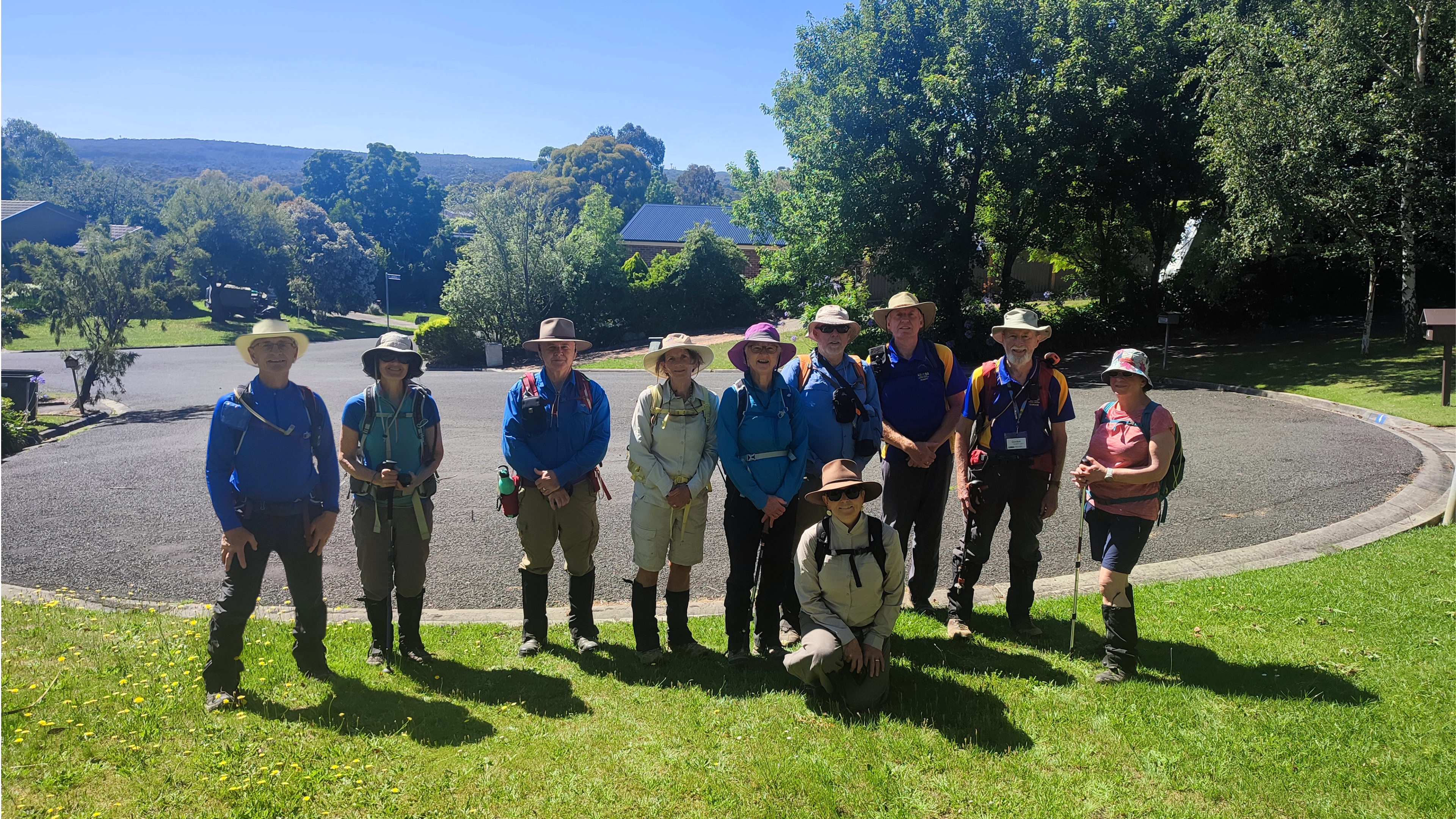
A beautiful January morning saw ten keen hikers begin by walking south from Hocking Avenue, down the Canadian Creek, Mt Clear. We were pleased to welcome Deb to the group, one of the new members for 2024.
We left the creek at Olympic Ave and walked up to, and crossed Geelong Road before heading further west down Jones Ave past many picturesque 'lifestyle blocks' nestled in the bush.
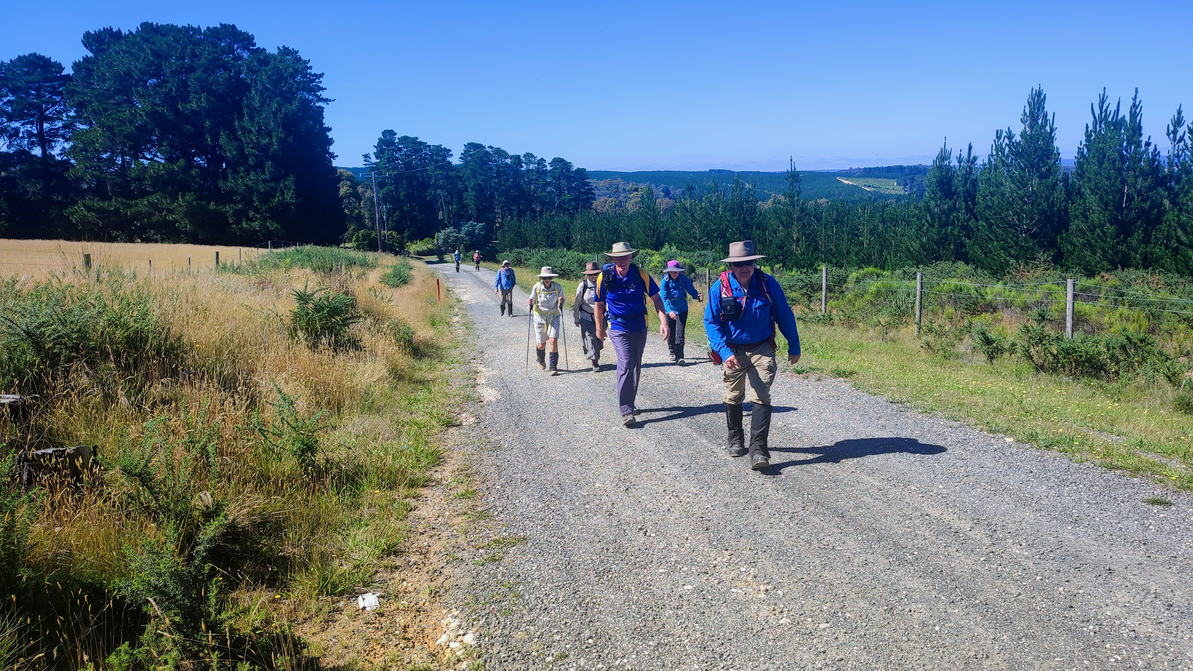
Eventually, after walking uphill for some distance we reached the highest point of our walk (500 metres) and stopped for a refreshment break whilst enjoying views away to the south-west.
From this point on we were walking in the Yarrowee Plantation, crown land leased to HVP Plantations for the growing and harvesting of Radiata Pine.
Melbourne-based HVP is one of Australia’s largest private timber plantation companies. The company is owned by a combination of Australian, Canadian and US superannuation and investment funds.
Manulife Investment Management Timber & Agriculture Inc (MIMTA), based in Boston, acts as overseeing manager on behalf of investors. Senior management from MIMTA also represent U.S. investors on the HVP Board.
HVP Plantations estate is situated across areas of southern Victoria, extending from Gippsland in the east to the border with South Australia in the west and large plantations in the north east of the state. The total area of land managed by HVP equates to over 240,000 ha. About 170,000ha of this land is pine and eucalypt plantation.
The tracks through the plantation were very varied with one long section being extremely rough and eroded and care needed to be taken.
After some distance we came to another vantage point with views to the north and west where we could see the huge crane at the Base Hospital as well as other recognisable landmarks.
Arriving at Bradley's Lane where we again came across some 'lifestyle blocks' we were met by a large Billy Goat with some intimidating horns, roaming around loose who decided to accompany us for some distance!
After crossing Whitehorse Road we worked our way back to our start point through the residential area of Mt Clear.
Photos Andrew Parker and Teena Evans
LINKS
DOWNLOAD A GPX ROUTE FILE FOR GARMIN OR SIMILAR
VIDEO/SLIDESHOW OF A PREVIOUS VERSION OF THIS HIKE


Comments
Post a Comment