296. Living in The 70's - Castlemaine Diggings
U3A Hike No 296.
Hike Report By Teena Evans
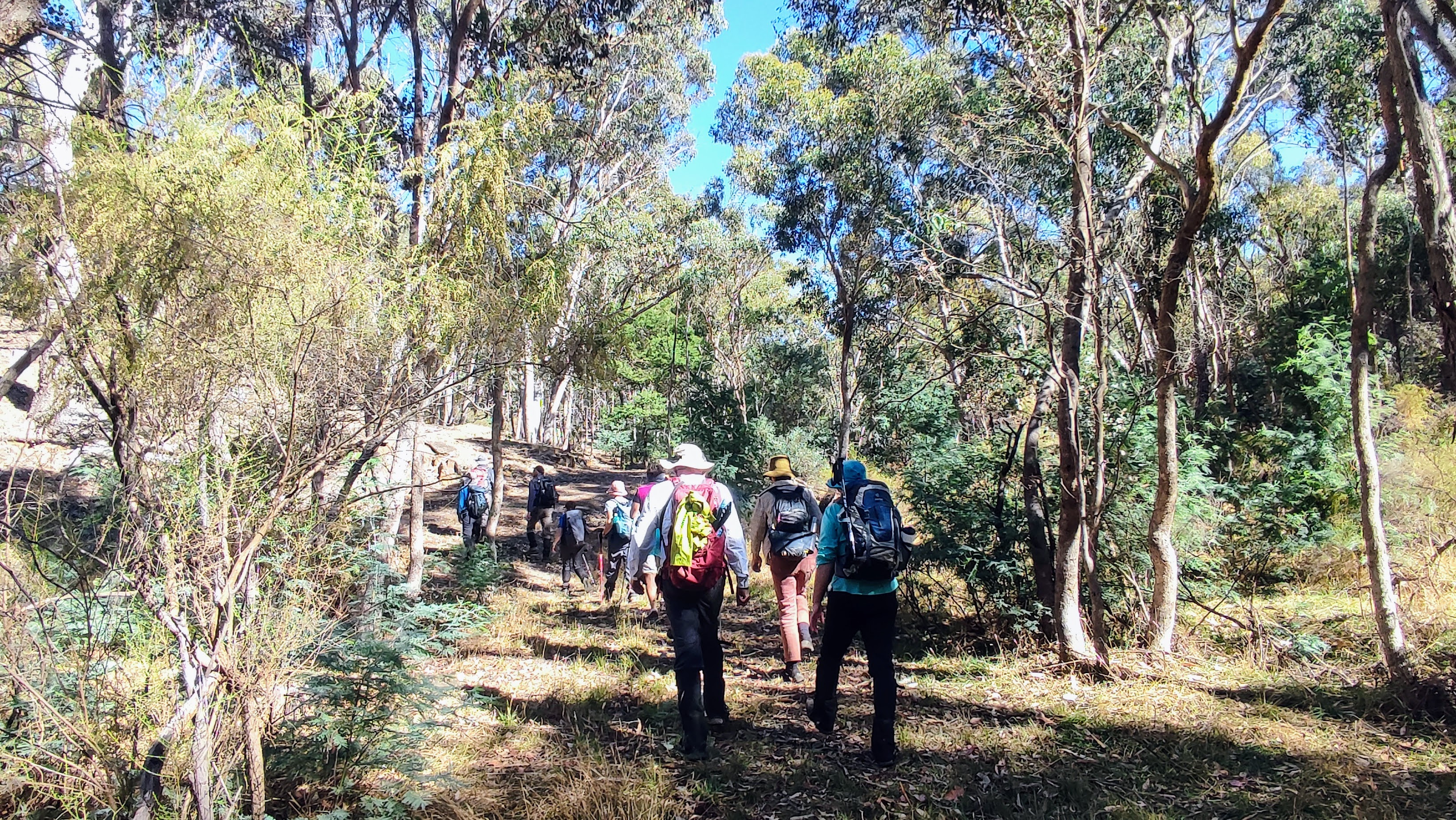
We met at Kirks Reservoir; 13 keen hikers carpooled to Castlemaine for the start of the 13k hike.
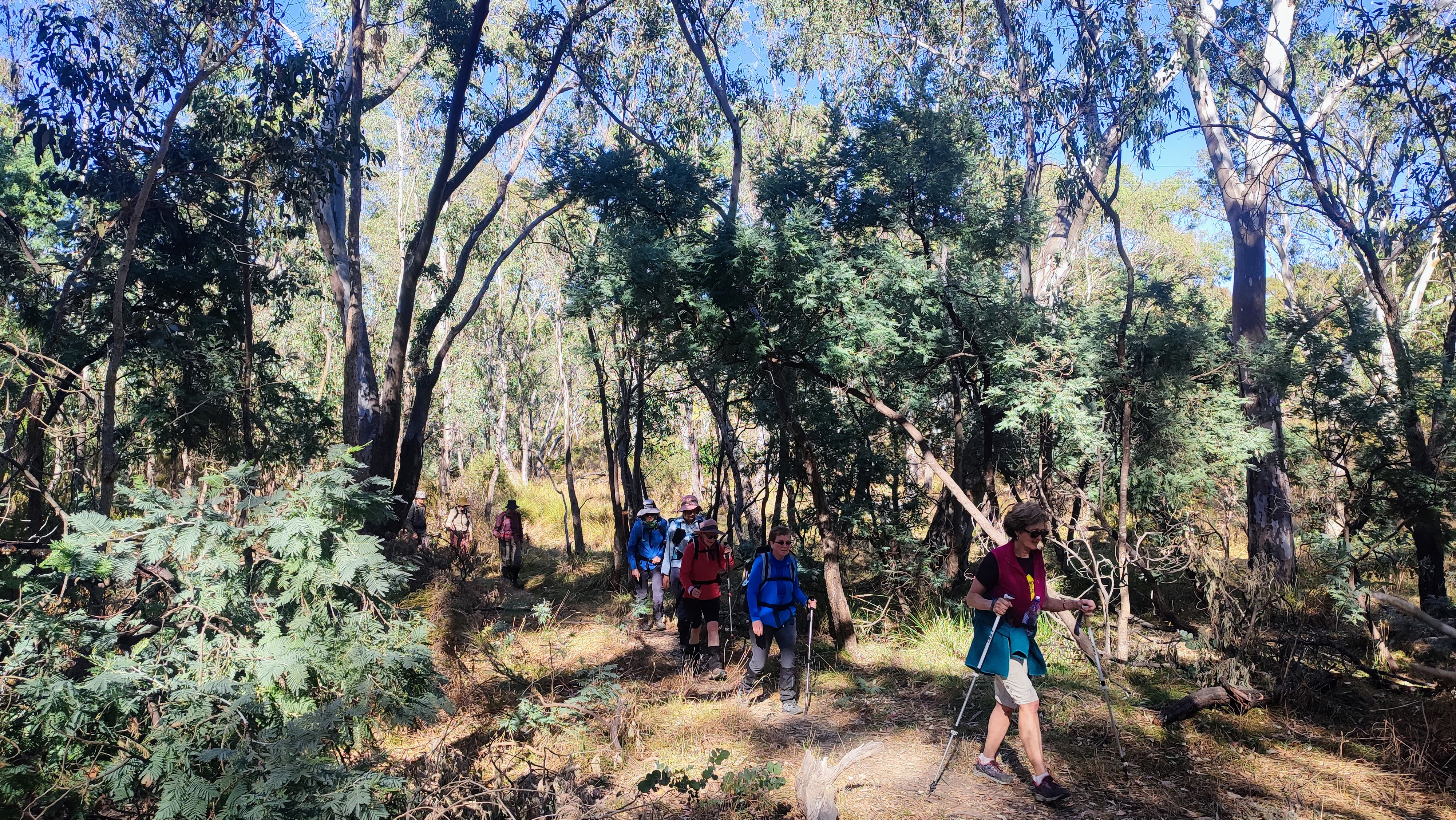
The start was at Pennyweight Cemetery in Colles Street. Led by Mark, we set off northwards to Quartz Hill Track on our right. We continued North to Pikestreet Road and turned right. After 500m it became RB Hotel Track, 600m along we came to a hairpin bend where we turned right. Following the track, we came to a T-junction, which was a major dirt road. We turned right into Folly Track and went SE for about 100m where we then followed the dam on our left. We came across a very faint footpath on our right, which we followed, taking us south and uphill, one of the many that had been promised. We then went on to Toby’s Track to our left, a rough 4WD Track, which got even rougher as we carried on. We continued downhill, having to be very careful, it was easy to slip as the track was very dry underfoot. We arrived at Welsh street where there were notice boards for Welsh Village and a carpark.
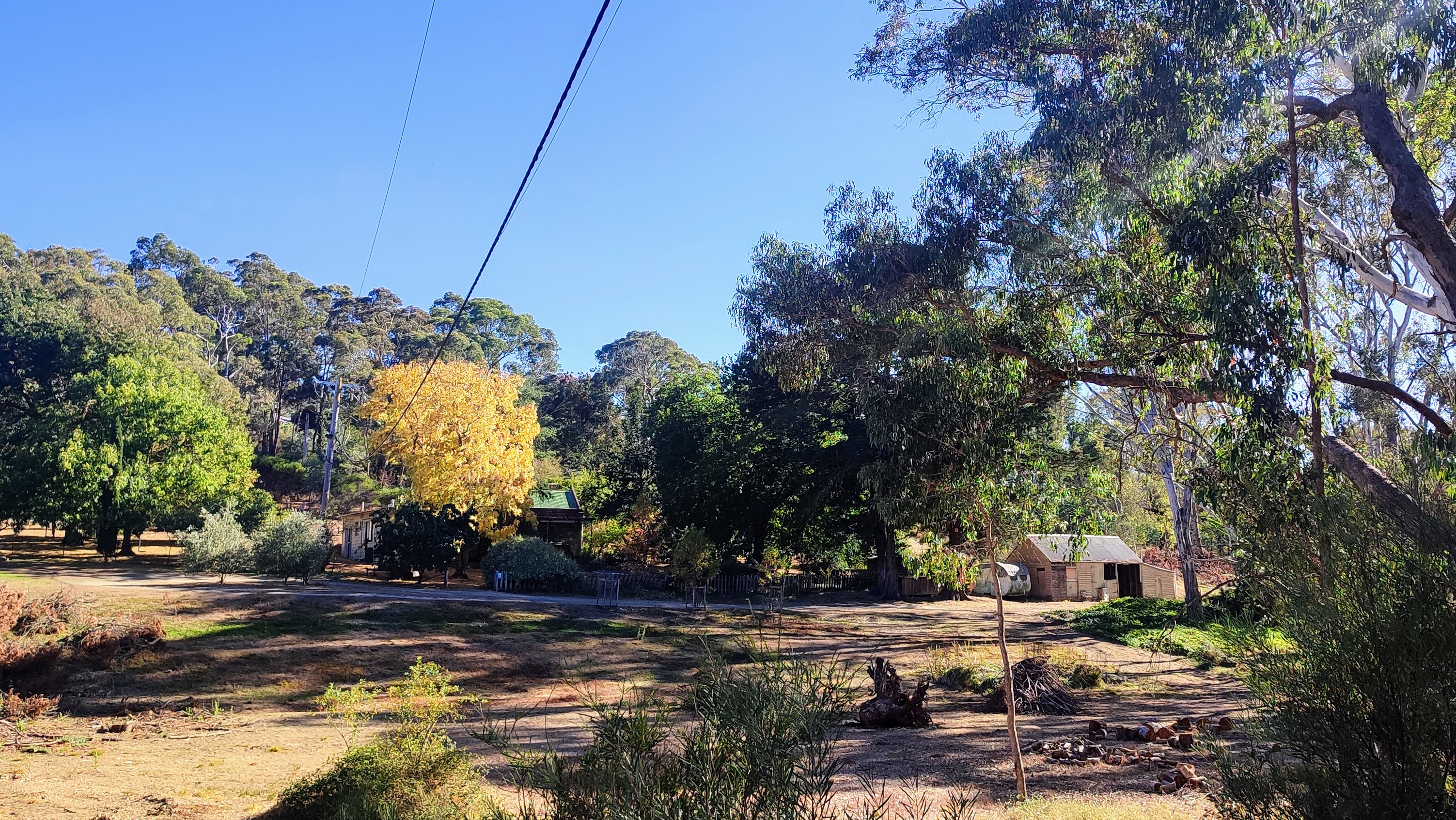
Welsh Village is an abandoned goldrush settlement. It was the world’s richest alluvial goldfield between 1851 and 1854. Today you can still see the stone homes, which are well preserved, offering a glimpse into this bygone era.
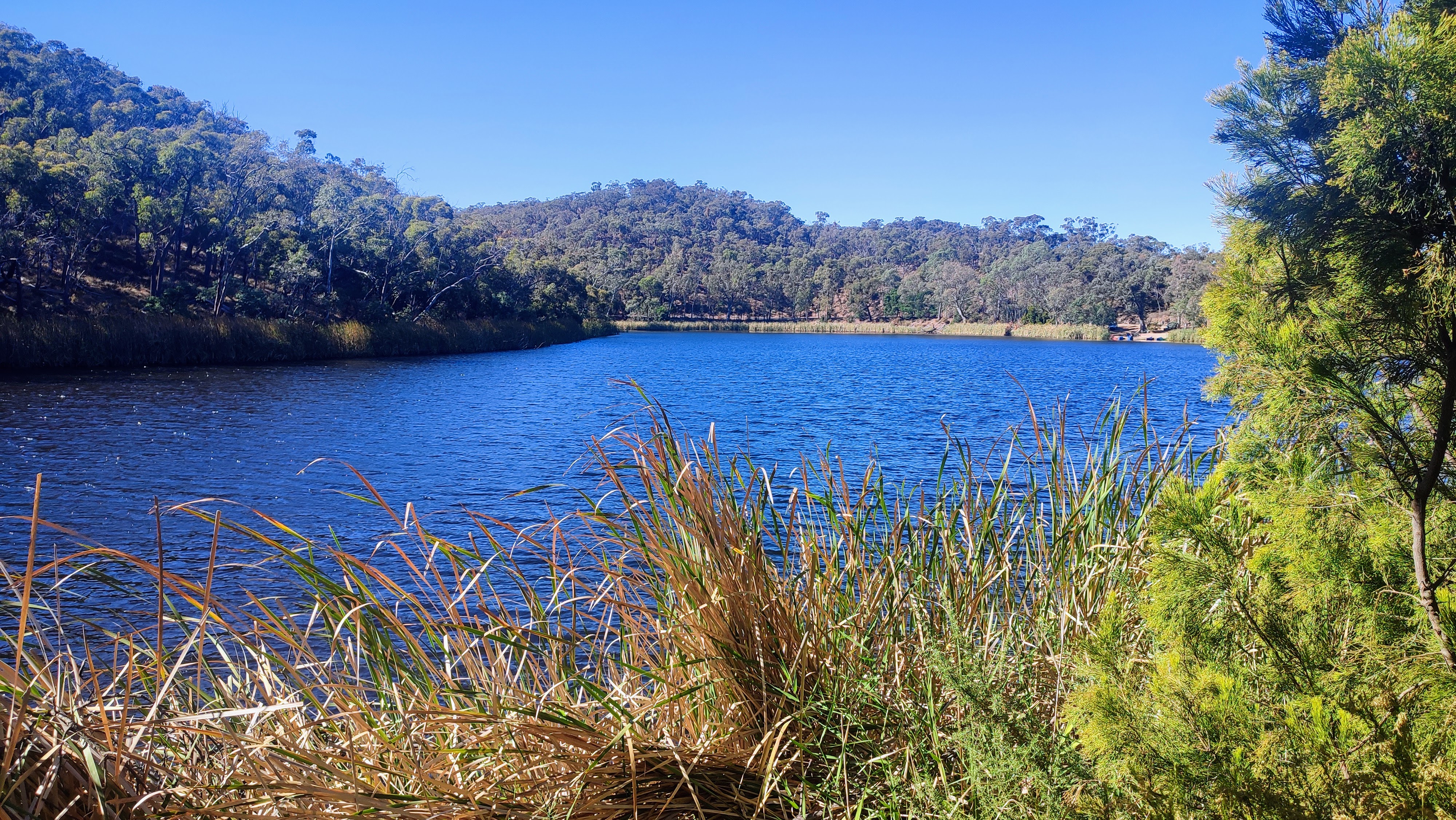
We continued a further 600m, where we then left the Goldfields Track. Going in an easterly direction, we followed a foot-track to Forest Creek. Here we crossed the creek to meet the Forest Creek Walk. After 900m we came to the western end of the dam wall of Exhibition Pass Reservoir. It was time for morning tea and a welcome break for all.
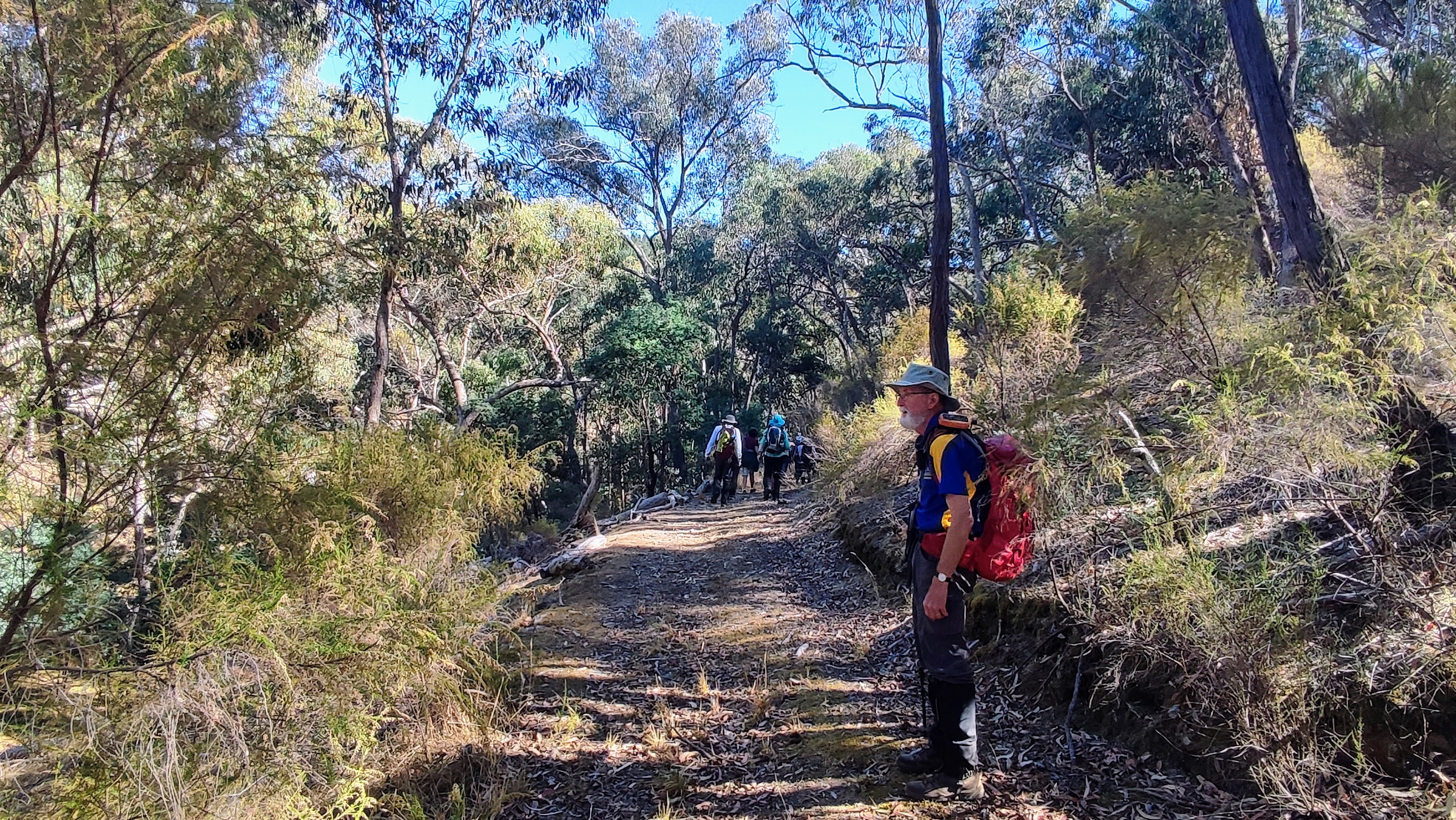
Setting off again we found ourselves walking off track, uphill and across a broken down wire fence, luckily, everyone navigated this well. We continued along an old vehicle track to a dirt road. We then followed a shallow gully to the border of a pine plantation. We had a steep uphill climb through the pines which were soft underfoot but could be slippery. Continuing, we came to Dead Bullocky Track dirt road which offered amazing views over Castlemaine. Andrew was able to point out many of the mountains we could see in the distance.
Off we went again along mountain bike tracks, pine forest and dirt roads. We stopped for a short lunch break before hiking back through 4WD tracks, foot tracks and old alluvial diggings. As we walked through a narrow foot-track we came across a bees’ nest in the trunk of a tree. The bees were quite aggressive, not enjoying our company, and Kath fell foul to one stinging her on her face. Andrew came to the rescue though and managed to scrape the stinger out of her skin with his fingernail.
(a bee sting has a sac of venom attached to the outer end and if you pinch it to remove it, you will squeeze the venom into the body)
Finally getting back to the cars some of us went to the Children’s Cemetery. Very sad to see the ages of some of the children that had died, 7 days old, 9 months old, so sad. It was a very difficult life back then with out our modern medicine we have now and vaccines for illnesses we take for granted.
Thank you, Mark, Gordon and Andrew, for keeping us on the straight and narrow and returning us to our cars in one piece.
Also thank you to Jan Herperger for this walk that she found in a bush walking guide of 1973 which belonged to her father.
Photos by Andrew Parker
DOWNLOAD A GPX ROUTE FILE FOR GARMIN ETC









Comments
Post a Comment