Werribee Gorge, Werribee Gorge State Park Circuit - 8 Kms
U3A Hike No 281
Hike Report by Monica
An early bird start saw 12 U3A regulars meet within the
Werribee Gorge state forest, at the second public carpark, after a winding road
leading down, down to Meilkes Picnic Ground. The picnic spot, complete with
toilets and tables, is popular with families on the weekends, and offers an
abundance of well sign-posted walks: The Discovery Walk (short), the River Walk
(3 Kms), the Centenary Walk (4 Kms), the Ironbark Gorge Walk to Falcons Lookout
and the Short Circuit (3 Kms).
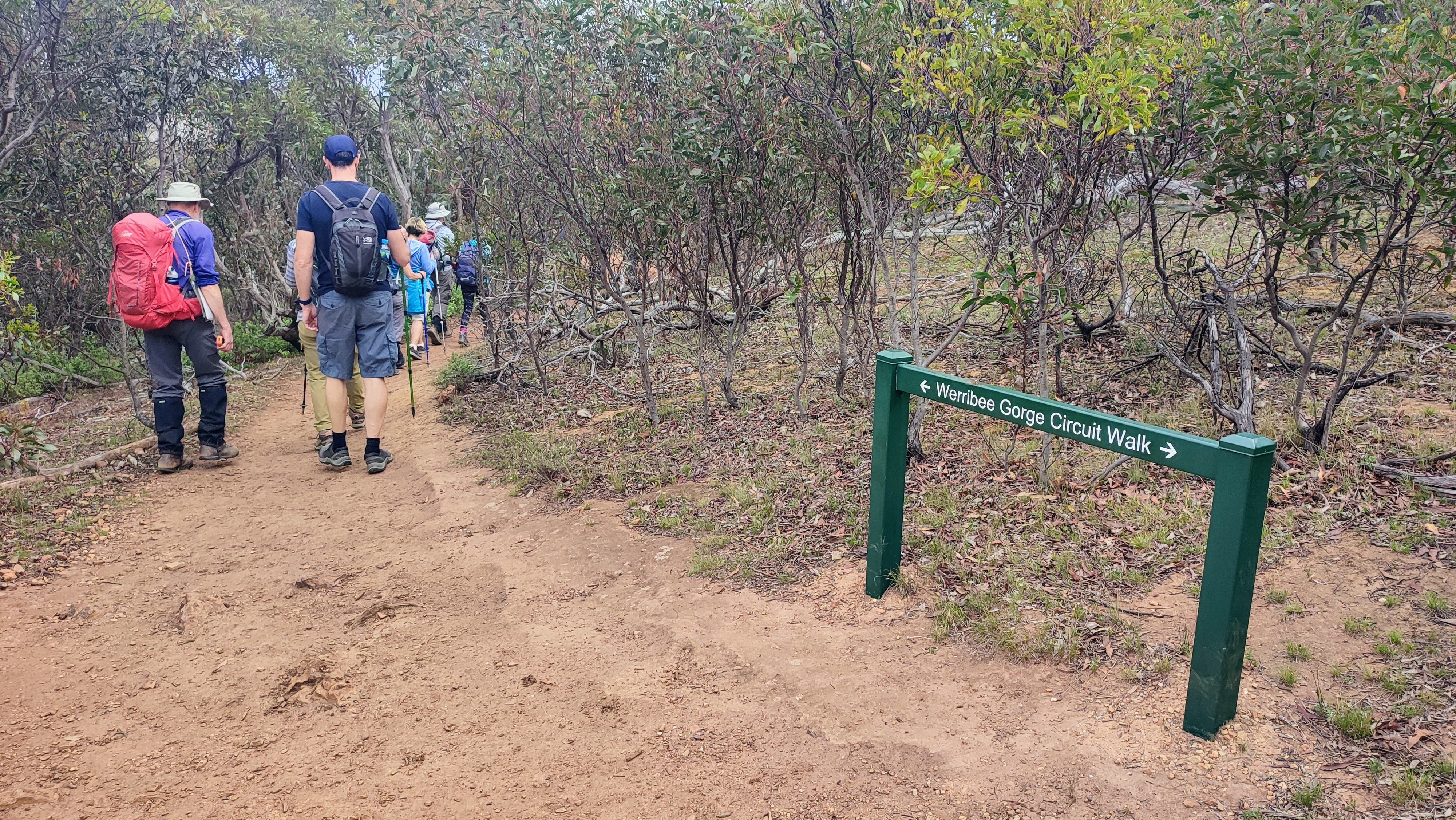
Naturally, being hardened hikers, we were led by Mark on the only possible alternative: the greater Werribee Gorge Circuit Track, billed as 10 Kms and graded as medium-difficult. To be fair, Andrew’s highly accurate gps at the completion of the walk noted just 8.1 Kms, while grading by yours truly could be summed up as 50:50 (med:diff), and categorised into roughly four stages: uphill, downhill, sheer-rockface-help!-feels-like--abseiling, and flat.
Such variation comes with gorge territory – wild, beautiful, and ever so slightly dangerous - yet no-one fell into the swirling depths of the Werribee River, turned an ankle or slipped on rocks. Nor, as was the case in the past with one hapless tourist, disappeared over a cliff face while taking a selfie.
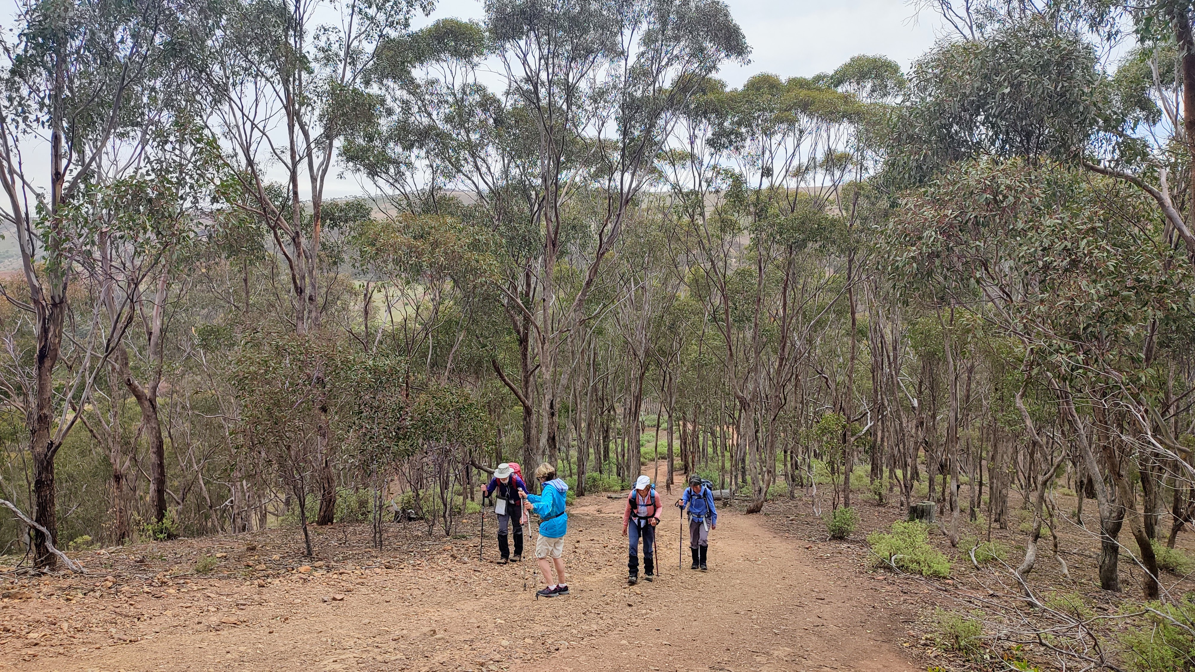
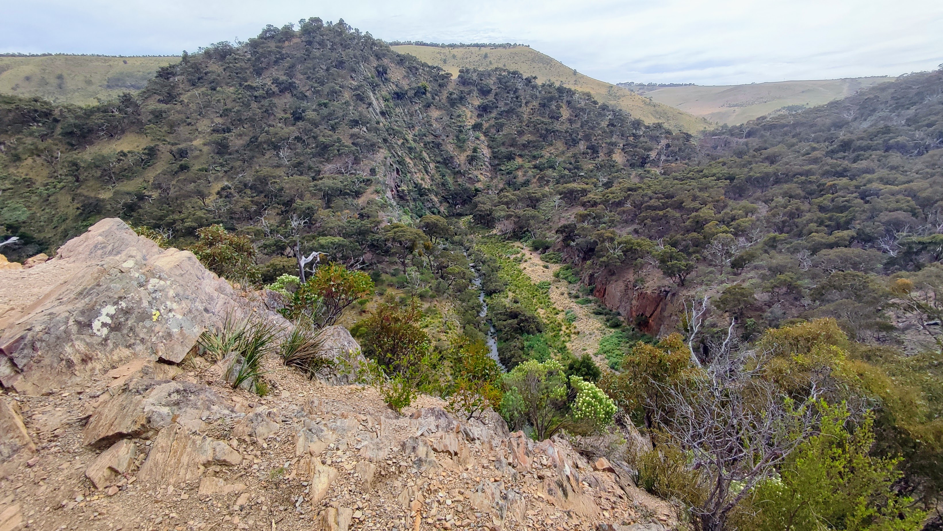
Despite an early breakfast and 30 minutes of car-comfort, we were faced with a bruising start, a steep ascent. Still, everyone managed to keep talking, only to pause momentarily for a view over the sheer rockface of the Gorge and Bacchus Marsh in the distance. Along with the bird song, we were treated to the constant hum of the M8. While Gorrocburkghap Falls might have provided a splendid sight, it fell short due to lack of water, so we headed for Eastern Viewpoint, with its view over the Pentland Hills in the distance, and the flat-topped ‘The Island” (grass covered outcrop) displaying a mohawk arrangement at its flattened peak.
Protruding from every rocky outcrop and reaching into the distance, a white flowering bush dominated. It appears to be the inland pigface, although Google photos suggested a milkweed from the Mexican desert. Let’s hope not.
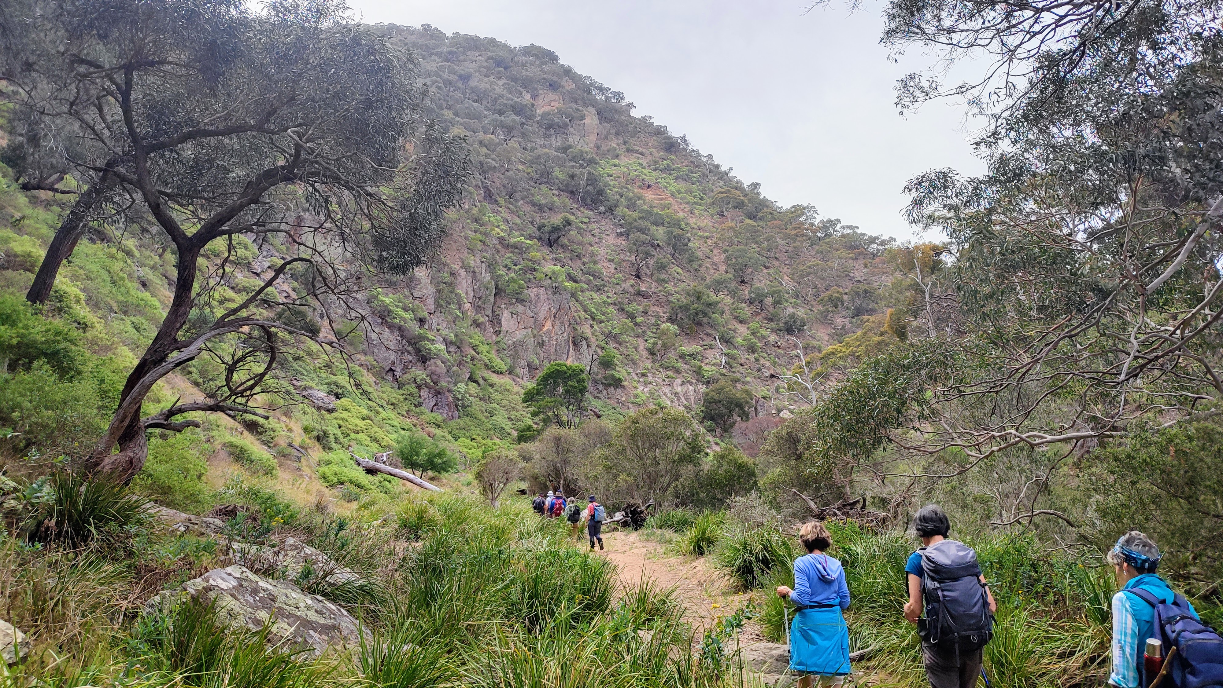
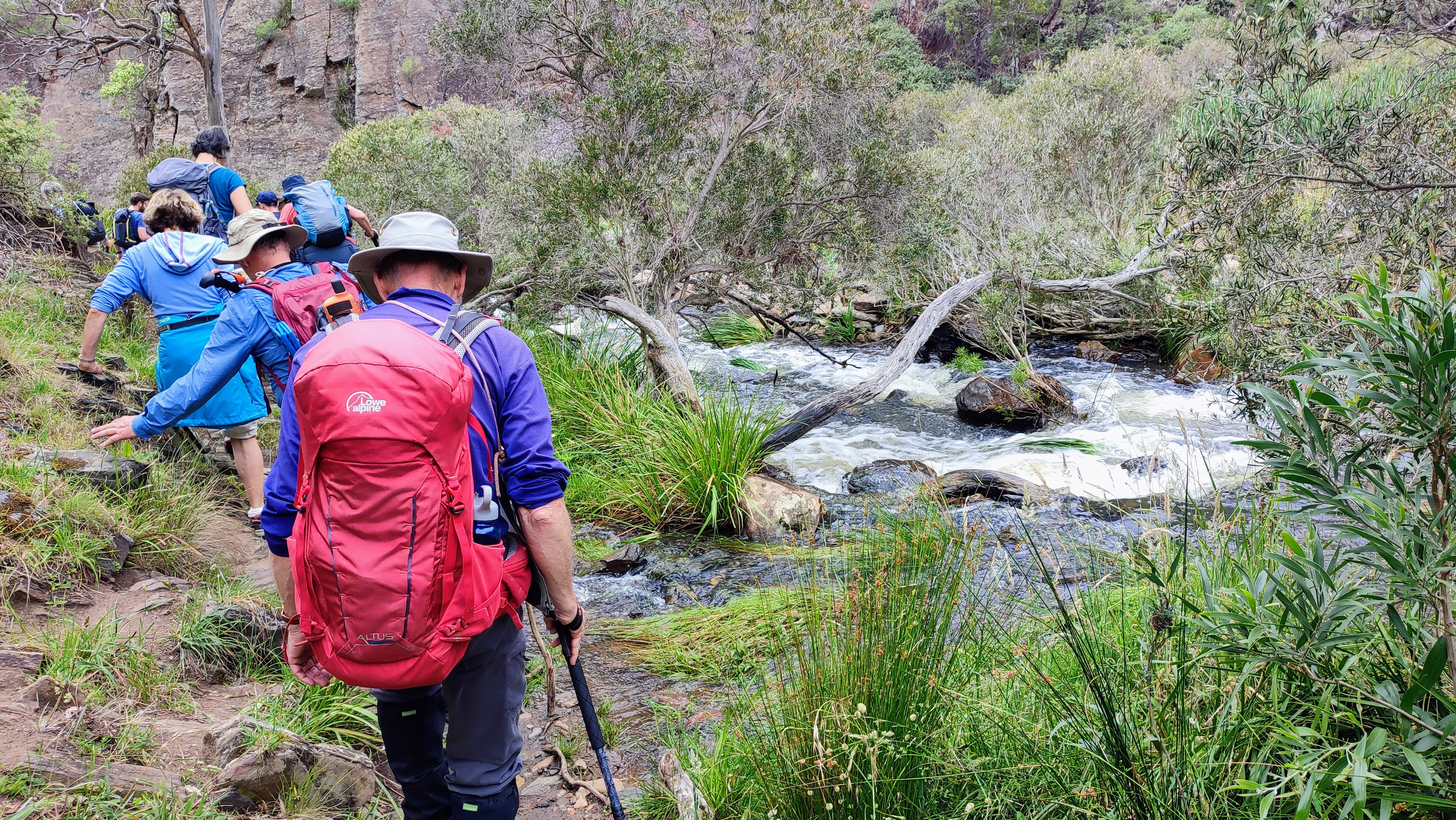
By Stop Four, with downhill territory now in sight, we began to hear the rushing of the Werribee River, and watched a bush wallaby nonchalantly chewing its breakfast, oblivious to our presence. Downhill proved hard work with rocky terrain requiring careful footwork. Reaching both Needle Beach and Lionhead Beach provided some relief from the ankle breaking descent, and we spent some time trying to spot Peregrine Falcons and Wedge Tailed Eagles high in rocky lofts. No luck today. Instead, we applied our imaginations trying to identify the Lionhead formation in the dramatic rockface opposite us. This formation, according to Parks Vic notes, was a result of massive geological upheavals known as synclines comprising horizontal layers of soil deposits, and compressed by massive tectonic plate movements. All this activity took place 350 million years ago, presumably with the Lionhead relief sculpted sometime during this geological period. Curiously, the Lionhead only became recognisable for some, after we took photos, created in a matter of nanoseconds. Time certainly has a different meaning here.
The second last stage of our rocky trip proved the most interesting. With little path to follow we clambered over rocky protrusions, groped for handholds on rock faces, stretched our legs higher and wider than we’d assumed was possible, and clung to a life-saving rubber-clad cable along a particularly vertical stretch of cliff. Still no-one fell into the frothing Werribee waters below.
PS: That broken toilet smell that permeated much of the walk was, in fact, the odour from native saltbush.
Photos by Andrew
A MANIPULATED PHOTO OF THE LIONS HEAD













Comments
Post a Comment