Coliban Main Channel, Taradale - 2023 Version - 13 Kms
Hike Report by Lyn
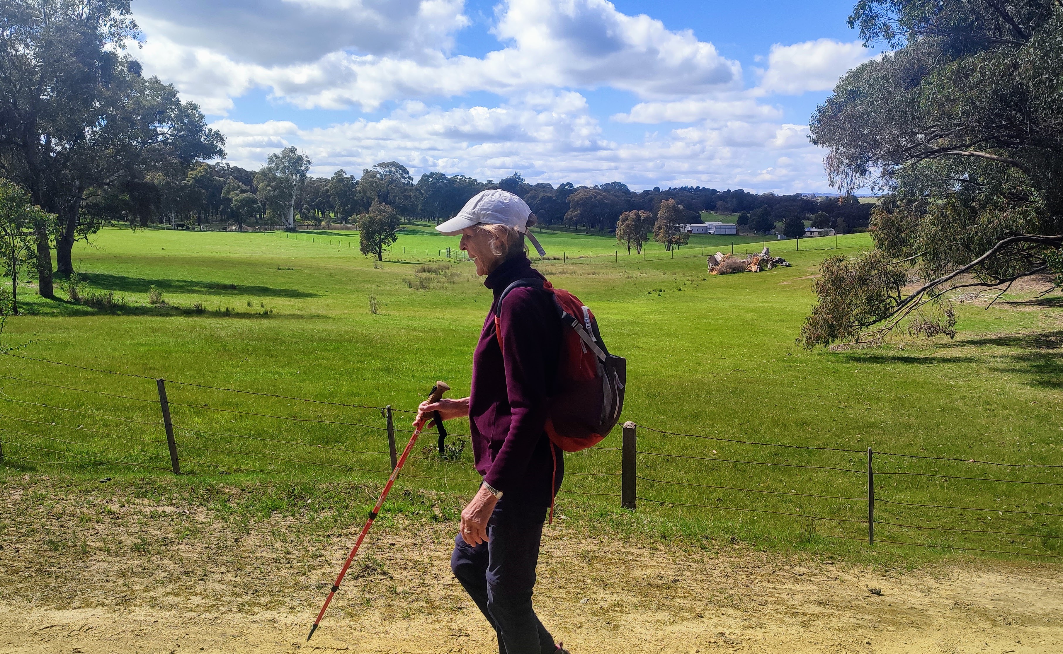
After a quick stop at Taradale and time to organize the car shuffle, our small group of 10 started the walk near the intersection of the main water channel and Tyquins Road. It was a beautiful spring day for a walk… not too hot and not too cold… my version of “goldilocks weather”.
Before we headed off Gordon warned us that it may not be a good idea to fall into the water especially if the water was surging in the channel. A slight uphill climb brought us to our first encounter with the open channel where the water was peaceful and non threatening. However we heeded Gordon’s advice and continued onwards dry and safe. As described the walk was easy with gentle grades and a good surface. The bushland in this area consisted of eucalypts, understorey plants with colour being provided by hardenbergias, tetrathecas, wattles and daisies. I must also add that after much searching two mauve waxlip orchids were also spotted to the delight of one or possibly two of our hikers. As we continued on our walk it was the channel that started to really take our attention.
The channel was originally proposed to service the Central Victorian diggings as the area experienced shortages of water necessary for drinking and gold recovery. In 1862 the Victorian Government offered 500 pounds prize for the best solution to bring water from the proposed Malmsbury reservoir to Castlemaine and Sandhurst (Bendigo) a distance of 45 kms as the crow flies. In 1864, it was announced that the plan submitted by an Irish engineer named Joseph Brady was successful. Brady’s plan consisted of 70 kms of open channels, flumes, syphons, tunnels, horseshoe jumps and overshoots meandering across the countryside. Construction materials included local bluestone, timber, bricks and more recently concrete. The original works were built mainly with hand labour, a mean feat considering the lack of modern day machinery and transportation. In November 1877, the first droplets of water made their way down the channel. The quality of the workmanship was evident and now after more than 140 years and admittedly some additions and maintenance, the channel is still servicing Bendigo and surrounds.
On returning to our cars we made our way to Taradale for lunch before heading to the impressive railway viaduct which spans across Back Creek. Built between 1858 and 1862 it consists of five spans with a total length of 251.6m, height 36.6m and is still part of the main rail route. The bluestone buttresses and original columns have been strengthened in the 1930s to cater for the heavier rolling stock. On top are elaborate iron railings reflecting the Victorian era in which they were made.
We also had a short stop at the place where historically significant commemorative oak trees were planted to celebrate the wedding of the Prince of Wales to Princess Alexandra of Denmark in 1863 before we rejoined our cars and headed back to Ballarat.
Taradale was obviously a hive of activity in the 1860s when it enjoyed the spoils of the golden age. It still has many fine bluestone buildings and has been left with a rich historical legacy.
A huge thank you to Mark, Gordon and Andrew for organizing this very enjoyable and historically interesting walk.
LINKS TO A DOWNLOADABLE GPX FILE, INTERACTIVE MAP AND HISTORICAL NOTES CAN BE FOUND AFTER THE PHOTOS
Photos by Andrew and Geoff


Looks like a really interesting hike.
ReplyDelete