You Yangs and Flinders Peak Circuit, You Yangs Regional Park - 12.7 Kms.
Hike Report by Alan
With the weather
warnings of wind and rain Mark decided to choose the You Yangs circuit and
Flinders Peak for todays hike. So, nine
rather cold hikers set off from Buninyong.
The day turned out to be rather bright, sunny, dry with just an occasional
breeze. Flinders Peak is named after
Captain Matthew Flinders a British navigator and cartographer who on 1st
May 1802 climbed the highest peak in the You Yangs.
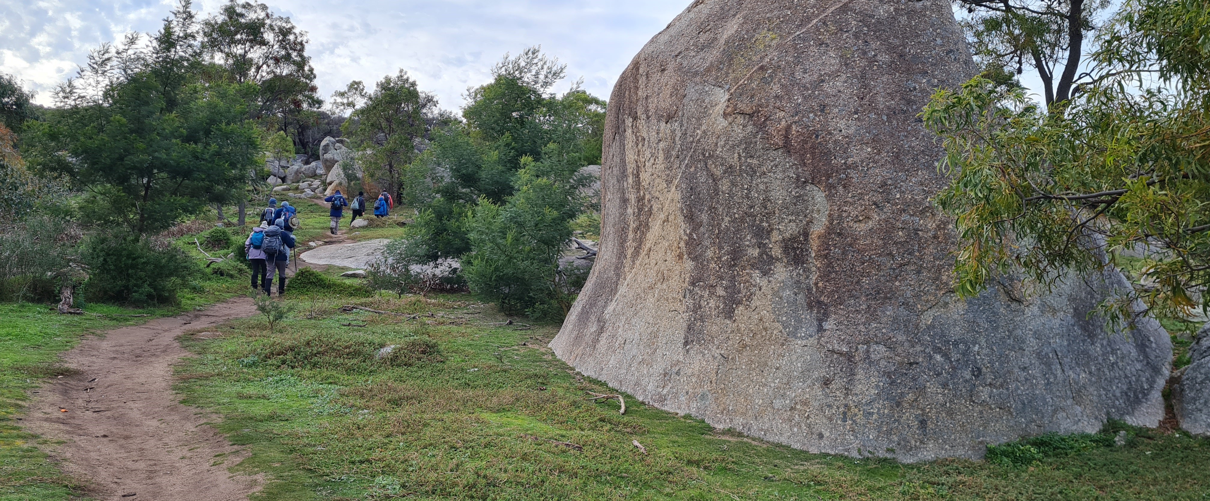
The start of the hike traversed east side of Flinders Peak. The track was hilly at times with steps in places but the views on our right-hand side were ever changing. At one point we had a good sight of the Bunjil Geoglyph.
Along the way we met a few dog walkers and some trail runners who had a lot more energy than we did. After morning tea, we made our way to the Bunjil Geoglyph. This is a big stone structure created by Andrew Rogers of a wedge tailed eagle to commemorate the 2006 Melbourne Commonwealth games. Rather ironic after yesterday’s announcement of the 2026 games being cancelled.
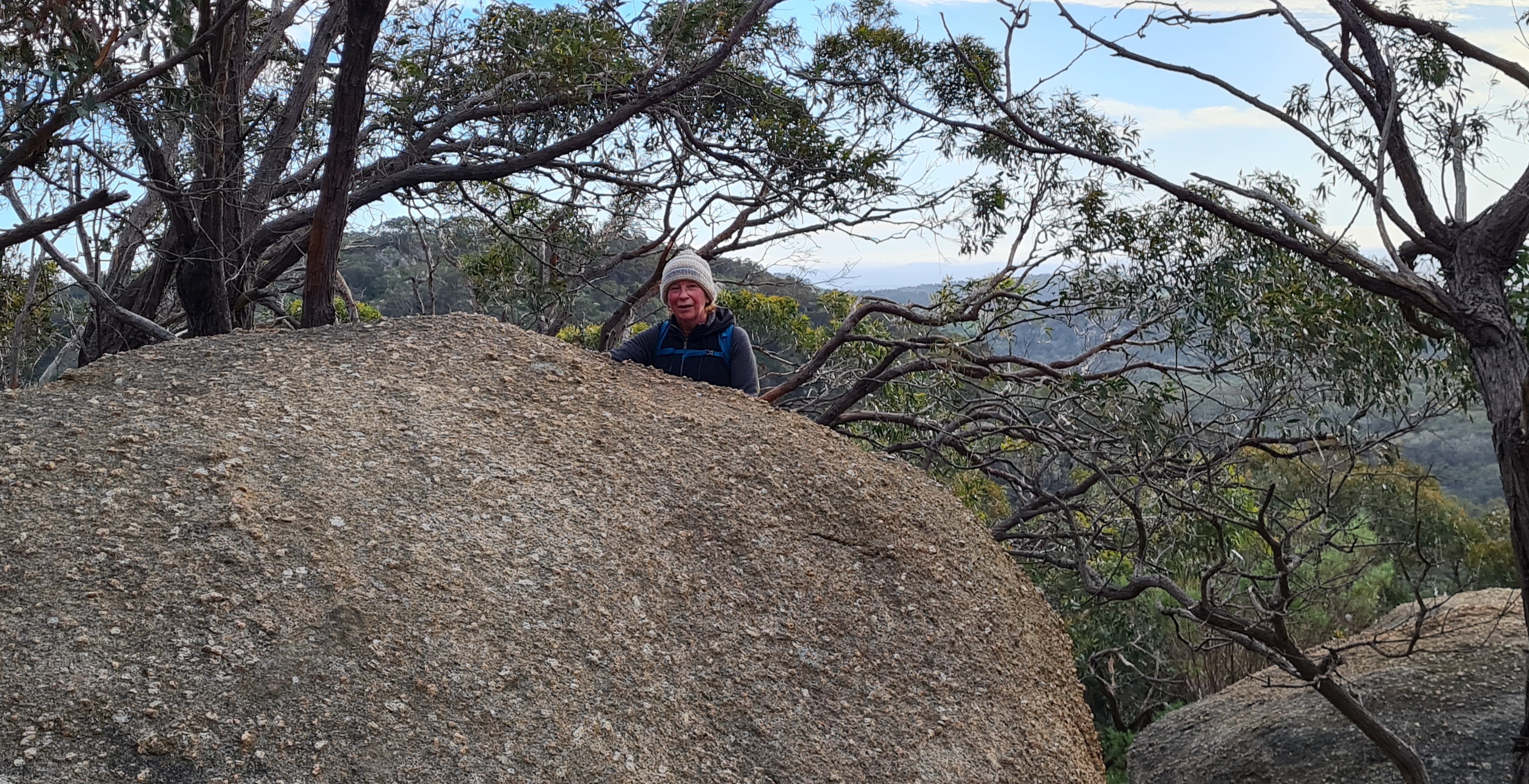
From here it was an easy walk back to the base of Flinders Peak passing the now blossoming wattle trees along the way. With the rain still holding off, we decided to make our way to the top of Flinders Peak, this stands at 1,154 feet. Throughout the hike we passed a lot of amazing granite rocks of all shapes and sizes. It didn’t start raining until we were driving back to Ballarat.
Thankyou Mark for a great walk.


Comments
Post a Comment