258. Lincoln Gully - Wrights Gully Rd, Creswick Regional Park Circuit - 12.4 Kms
Hike Report by Kath
The start of the walk
commenced on the Goldfields Track, heading east from the campground to reach
Slaty Creek Road, crossing into the forest, passing a dam, then crossing and
recrossing dirt roads and descending and ascending a steep and very muddy gully
until we reached Humbug Road. We walked along Humbug Road for about 500
metres before crossing Lincoln Gully Road and continuing on an un-named track
to cross Lincoln Creek to the Central Highlands Water Service Basin, a very
well protected, if not particularly attractive edifice, near Creswick-Melbourne
Road. From there we walked to Lincoln Dam.
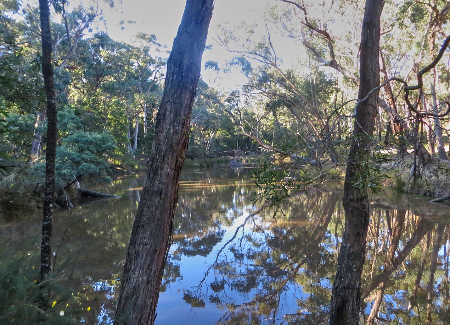
The walk was easy enough up
and beyond this point for us to be able to really savour the beauty of the
forest in the glistening sunlight with all its shades of green from the mosses,
grasses, and bracken and when we got to Lincoln Dam to enjoy the reflections on
the water. Mind you, we had been slightly alarmed on the approach to see a
signage saying dam wall temporarily closed due to storm damage as we
knew the track crossed the wall. However, Mark assured us that there was no
reason for concern and he was indeed correct.
In some areas of the
forest, even outside of the starting point at the Camp Ground, we saw a few
semi-permanent campsites and wondered what might be the stories and experiences
of its inhabitants living out in the forest in the mid-winter. In other places
there was some unsightly traces of rubbish – perhaps from deserted campsites,
perhaps just dumped there and then after we had left the dam, strode up Lincoln
Gully Link Track and started walking on more indistinct tracks we spotted a
mysterious sign saying Dora Dora MMXXI. We wandered what it meant –
although I was pretty convinced it was shorthand for saying Dora the Explorer
had been here in 2021 – even more so as, after the sign, the trail was interspersed
by a range of soft toys with very piercing blue eyes and some carefully placed
pieces of quartz in tree stumps to further mark the way.
Our meanderings along these mysterious paths
finally led us to Wrights Gully Road where we viewed a couple of old deep mine
shafts. I do hope Dora the Explorer hadn’t fallen down one of these on
her visit to these parts in 2021!
After following Wrights Gully Road westwards for about two kilometres we arrived at Slaty Creek Campground 3. We were glad we didn’t have to cross the creek there as the causeway had fallen away in quite a spectacular fashion! We followed the Slaty Creek River down it’s stony river bed on the Goldfields track.
As we arrived back at Slaty Creek Campground 1 a cacophony of kookaburras opened their beaks and laughed at the sight of us! We had our lunch at the campground and the wind started to pick up. We had caught the best of the day on our walk.
Thanks, Mark, for leading us on this pretty, only
occasionally muddy walk, interspersed with remains of gold rush activities.


Comments
Post a Comment