
Surface Point - Halls Rd, Enfield State Park Circuit - 9.5 Kms
U3A Hike No. 240

Hike Report by Mark H
A hike with Mt Misery and Misery Creek in its centre! Not an encouraging introduction. Seven of us took up the challenge to meet at Surface Point Picnic Ground in Enfield State Park. We were not the only ones there – a man with a friendly wave and his dog (wisely tethered) with its loud unfriendly barking/ growling were camped in a tent there. Misery for him we reckoned because a large dump of rain had landed an hour or so before.
Following Jan frowning at the Garmin we headed north along interconnecting paths which followed Frith Gully. What was that distant booming noise we heard occasionally? Illegal rubbish dumping? The ghosts of past mining ventures? Maybe an empty gravel truck hitting potholes. The dawning realisation however was a thunderstorm front was approaching.
Morning tea was taken with black clouds and menacing rumbling looming closer from the SW. By now the path was heading east up and down hills and gullies across Misery Creek Rd and the creek itself.
That’s when the heavens opened. According to Gordon and Andrew best practice bush craft suggests avoiding high places during an electrical storm, so we waited in a gully for the sound and light spectacle to pass. Half an hour later and a bit damper we were able to move along tracks which were considerably more slippery.
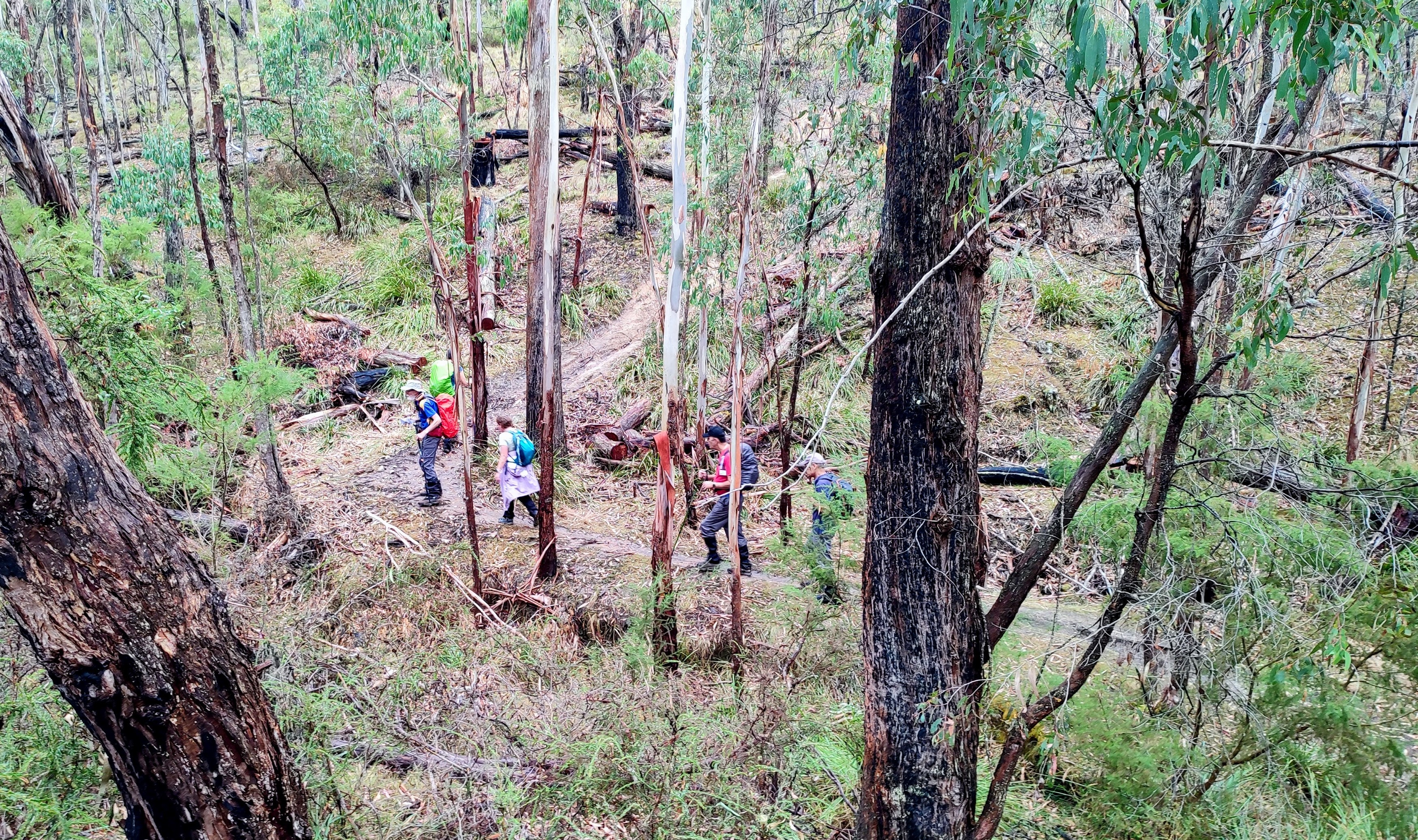
Gordon’s path took us off-track for 600m across and uphill (navigating by compass!) to Halls Rd and south to join Surface Point walking track. Along the next 2km back to the cars were the by now familiar remains of surface mining plus the mess left by sluicing works. Lots of up and down gully walking with the occasional water channel and building ruins. Our friend with the evil sounding dog had packed up and left.
In three years of regular Thursday walks I have hardly felt a drop of rain despite many threatening forecasts. That ‘duck’ was well and truly broken!
Great walk thanks Gordon. ‘Moderate plus’ describes the hills and gullies perfectly and a bit of bush bashing to keep us on our toes...or backsides.
Photos by Andrew


LINKS:
DOWNLOAD A GPX ROUTEFILE FOR GARMIN


Comments
Post a Comment