
Mugwamp Skyline Walk, Mt Buangor State Park Circuit - 10 Kms
U3A Hike No. 238


Hike Report by Lyn
With our start and finish point being Mugwamp camping ground, I thought I would use the letters of this interestingly named spot to base this short and sweet blog...
M is for the Merrymakers....12 in total
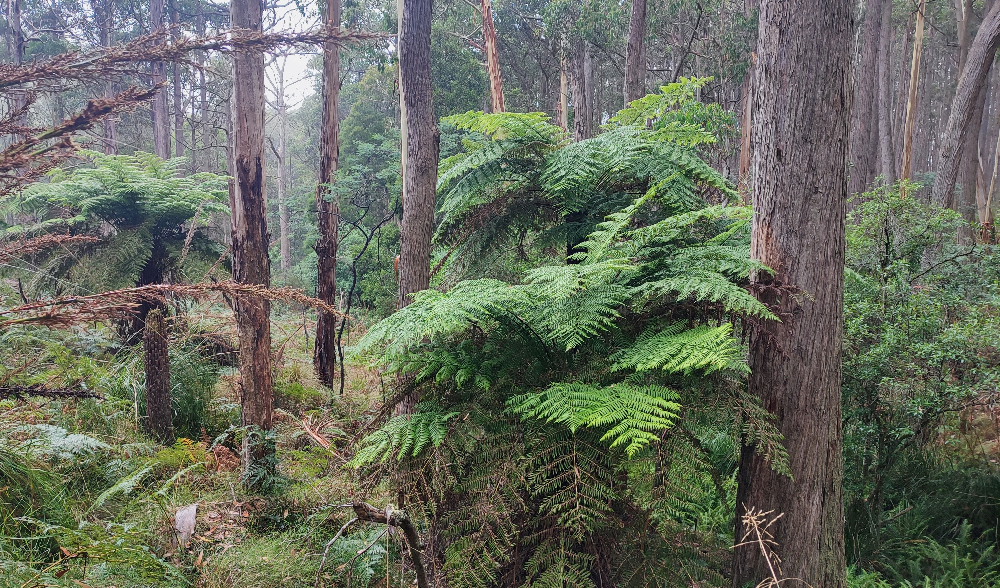
U is for underfoot and undulations. The route used part of the Beeripmo Track and formed dirt roads. Official distance walked was 10.05 kms. The track went though mixed tall forests with a bracken understory. Some very tall snowgums with their beautiful trunks were noticed. Further on we passed some amazing tree ferns. Evidence of past logging sites was also encountered.
G is for granite. Our first stop found us perched on a granite outcrop looking south with extensive views towards the Challicum Hills Wind Farm. Further into the walk we came across two other granitic features, Big Rock and Dawson Rock.
W is for walkie talkie. Refer to A. No further details will be given because you just had to be there.
is for weather. Being cool, overcast with occasional mizzle, views were slightly hampered. However we kept warm due to those undulations.
is for wildflowers which included daisies, lobelia (possibly l. browniana) and Australian bluebells.
is for our whip extraordinaire, Jan, who successfully completed her first solo undertaking.
A is for Andrew. Refer to W..walkie talkie. No further details will be given because you just had to be there.
M is for morning tea. Always a highlight. We found ourselves sitting on a moss covered granite rock under messmate trees.
P is for '' preciation to Gordon, Jan and Andrew for their planning and piloting, resulting in the successful completion of another extremely pleasant walk and to all the others who attended.
What does Beeripmo mean? See the historical notes link after the photos
Photos by Andrew


I love the photos of the tree ferns.
ReplyDelete