Wolfes Road - Creswick Regional Park Circuit - 12 Kms
U3A Hike No. 232
Hike Report by Janet
This walk took us through forested area between White Swan Reservoir and
Creswick which was the scene of extensive surface gold mining during the 1800s.
The slight drizzle cleared as we arrived at our starting point on Wolfes
Road and we enjoyed perfect walking conditions for the rest of the hike, sunny
but mostly shady and very pleasant. As we walked along meandering and undulating
bush tracks towards Slatey Creek camping ground, we saw evidence of last year’s
storm damage with a number of fords across the creeks damaged.
We stopped for morning tea at Slatey Creek Camping ground which was busy
with lots of families and children taking advantage of the Australia Day
holiday. The creek was totally dry in contrast to previous visits to this area.
Two well equipped gold fossickers walked past into the bush. We hoped,
with all their equipment that they would get lucky.
From the camping ground we followed the Wallaby track for a while
following extensive water races, and seeing much evidence of mining and
sluicing with great mounds of discarded quartz rock and numerous mine shafts.
Records indicate that over 4,000 diggers were here in the 1800s, searching for
gold. Another heavily damaged ford
crossing indicated the sheer force of the water that must have raced down through
in the storms.
Ken and Rick kindly repositioned the sign stating that the track we had
just come down was closed and we then followed Sawpit Gully back around to
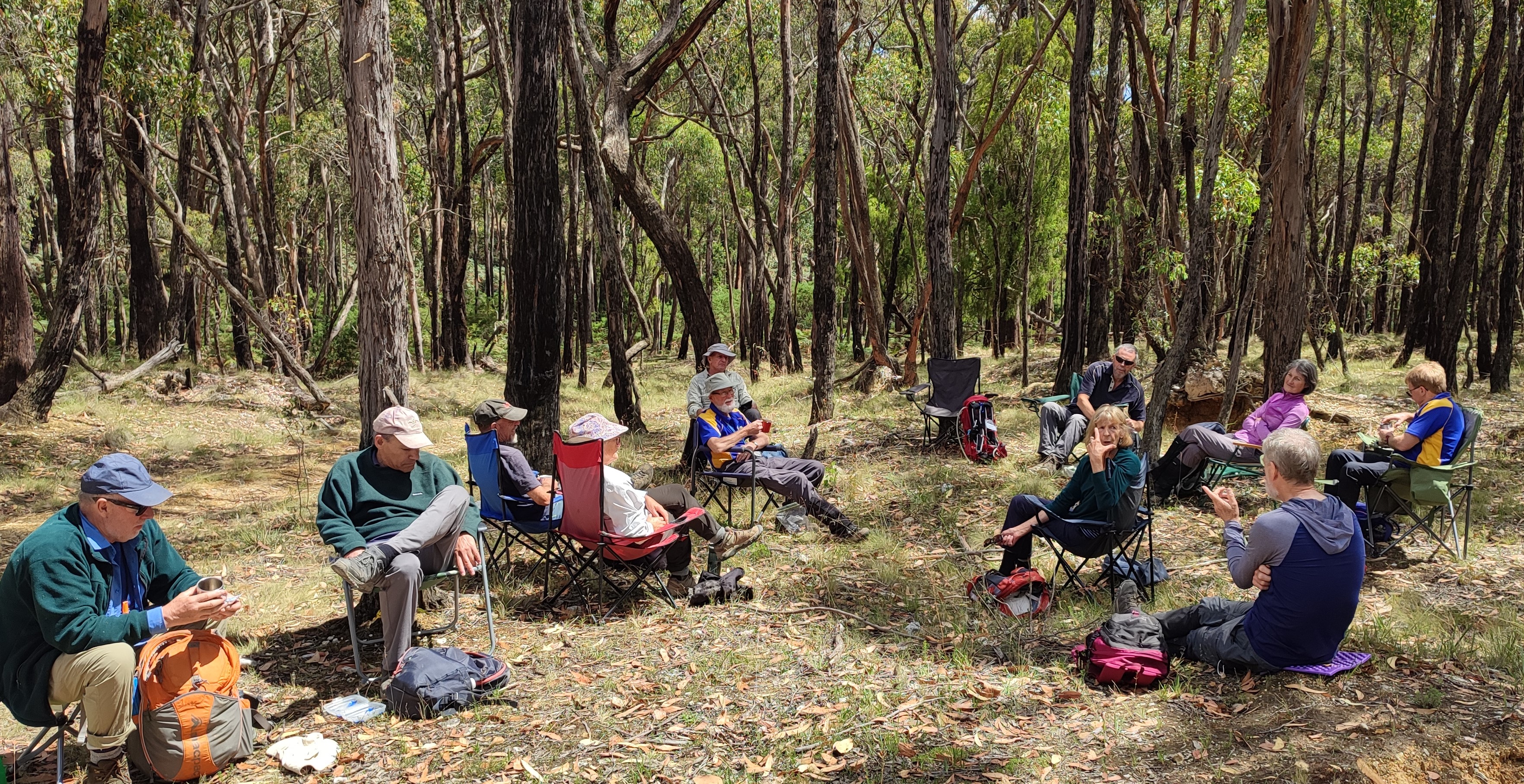
Wolfes Road, our cars, lunch and chat.
It was a lovely hike. Thank you Gordon for his excellent leading and Andrew for ensuring that nobody was taken by a wolf this time.


Comments
Post a Comment