
Boden's Water Races 1 and 3, Surface Hill Heritage Reserve Circuit - 10.3 Kms

Hike Report by Anne
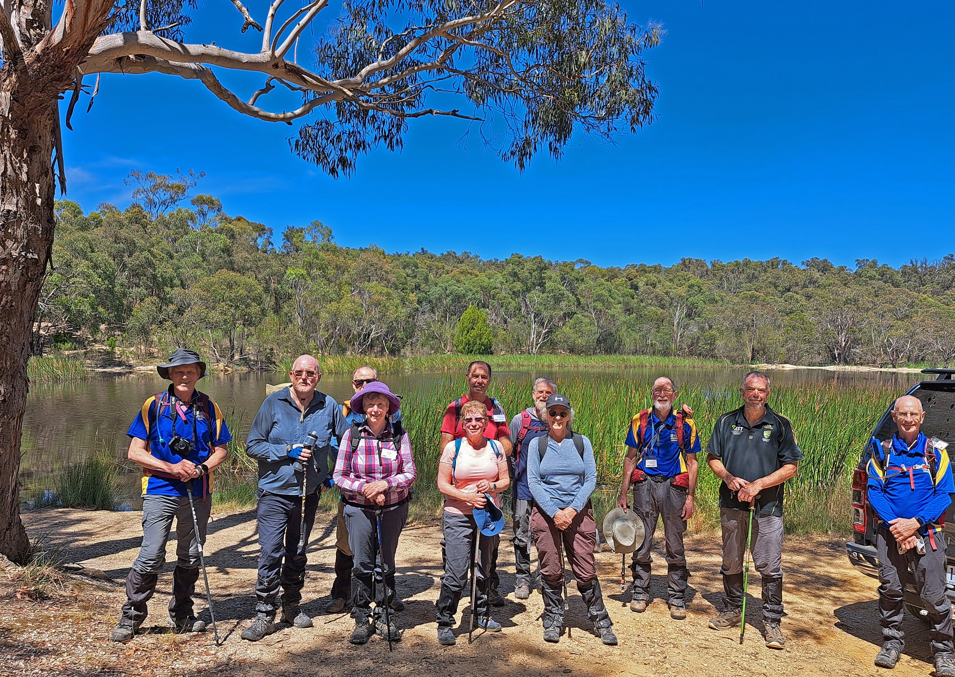
Eleven walkers assembled at Argyle Dam, Surface Hill, on a
soft, foggy morning. The fog held off the heat which was predicted for later in
the day, and was very atmospheric as we crossed the dam wall.
We were setting out
on an 10.3 km walk to explore some of the dams and water races built by Thomas
Boden and Party during the 1860’s and 1870’s. Boden’s party were sluicing for
gold around Watsons Hill, Surface Hill and Hard Hill in a quartz area south of
Smythesdale. In the early years of operation, the water ran out in summer, so
they started catching water in dams and transporting it from valley to valley
to the gold sluicing areas. Near Watsons Hill, a wooden flume was used to move
the water across a valley, and the water from Argyle Dam was pumped uphill to
Surface Hill. More commonly, the water was moved by gravity through the
extensive system of races. The system was constructed over several years, hand
dug by the miners who worked for the company, during times of mining inactivity
(mid to late summer).
We walked along a very dusty stretch of road recently
scraped out by machinery, with fallen trees along the edge. This area was being
prepared for burn off some time in the coming months. We left the road and
followed part of the Boden’s No 3 race walk, basically making our way slowly
through open scrub. Trees had fallen across the old water race and we were
constantly hopping from one bank to the other or skirting around trees and
shrubs. We left the race at Doctors Road which we followed until the start of Boden’s
No 2 race walk.
The path on this walk was clearly marked and used more than
the previous one. It was hard to pick the race at times, and at others it was a
deep erosion gully. We had a morning tea break near the start of this section.
We saw many more wildflowers along this track compared with the earlier race.
Flowers included blue pin cushions, bluebell creeper (Billardiera
heterophylla), twining fringe lily, goodenias and a pretty little 5-petalled
pink flower that I can’t name. As the walk continued, we passed two dams built by
Boden’s party, the first one breached and the second one still intact and
holding water. It was eerily quiet, with no frog noises.
We left the race and headed north on dirt roads again,
taking a diversion to see the remains of hydraulic sluicing at Surface Hill.
This was quite a sight! A large area of the hill had been washed away, leaving
eroded gullies and cliff faces and huge piles of discarded quartz stones.
Amongst the rubble we saw a lone spotted hyacinth orchid. From here, we walked
back past Argyle Dam to our cars, where we found a shady spot by the dam for
lunch.
Thanks to Gordon for leading a very interesting walk.
See the links after the photos for GPX file download, interactive map and historical notes
Photos by Mark B


Comments
Post a Comment