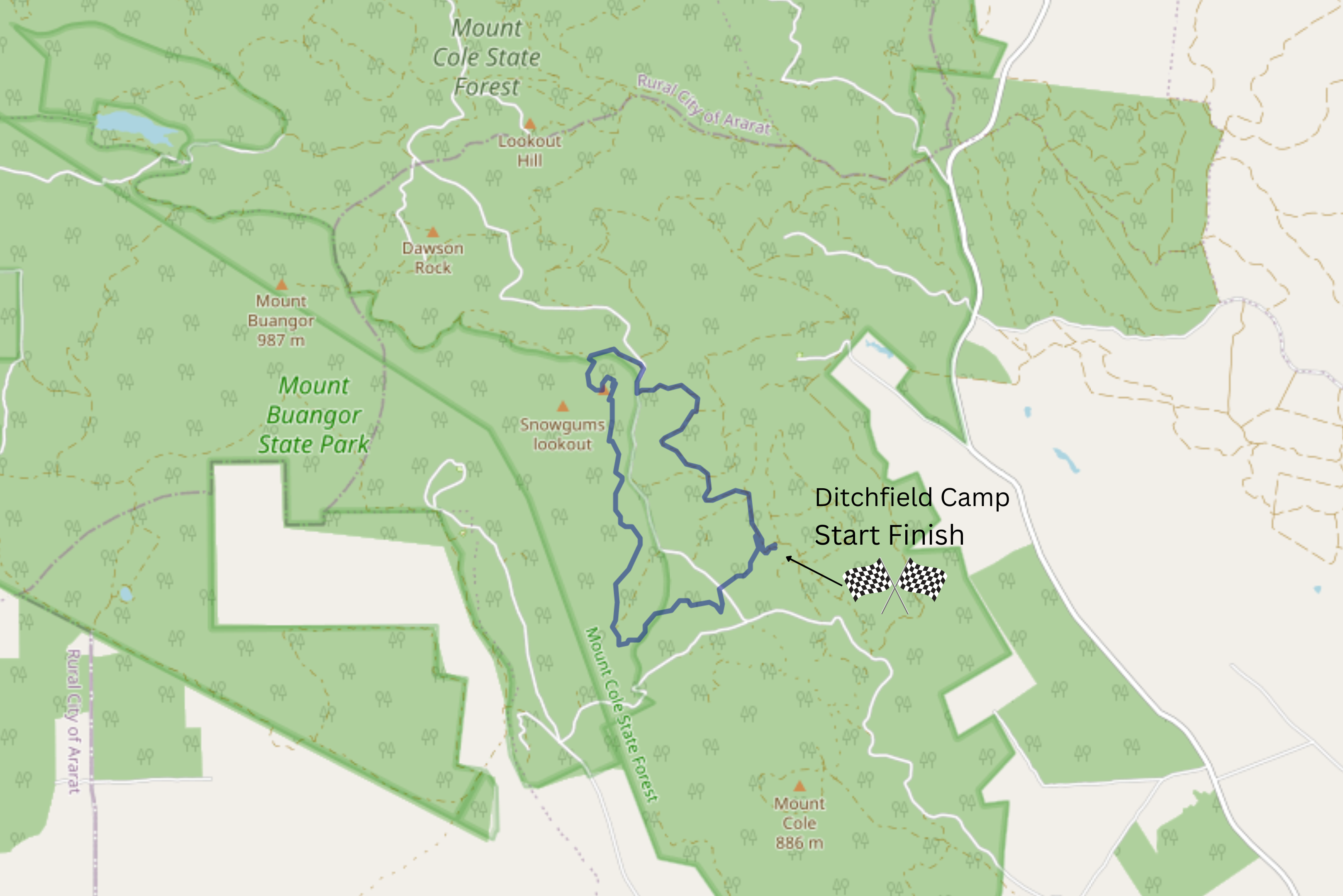
Beeripmo Skyline Circuit, Mt Buangor State Park - 10.2 Kms
Hike Report by Mark H
Not sure about the ‘Wild Mount’
part but Mount Cole’s weather was somewhat wild with a cold southerly wind
whipping unrestricted across the plains at the twelve of us when we dismounted
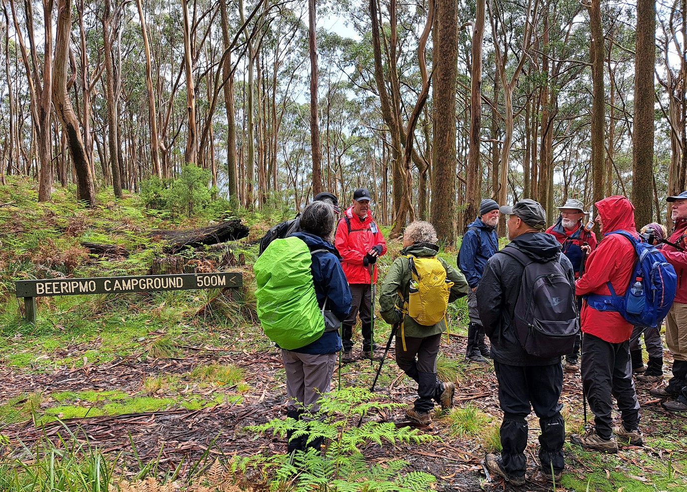
at Ditchfields Camp. After greeting a school group who were doing the entire
Beeripmo Track we headed south to the track.
‘Mount’ Cole implies hills and
this is what we got! Upwards along a mainly dirt and rock path through forest
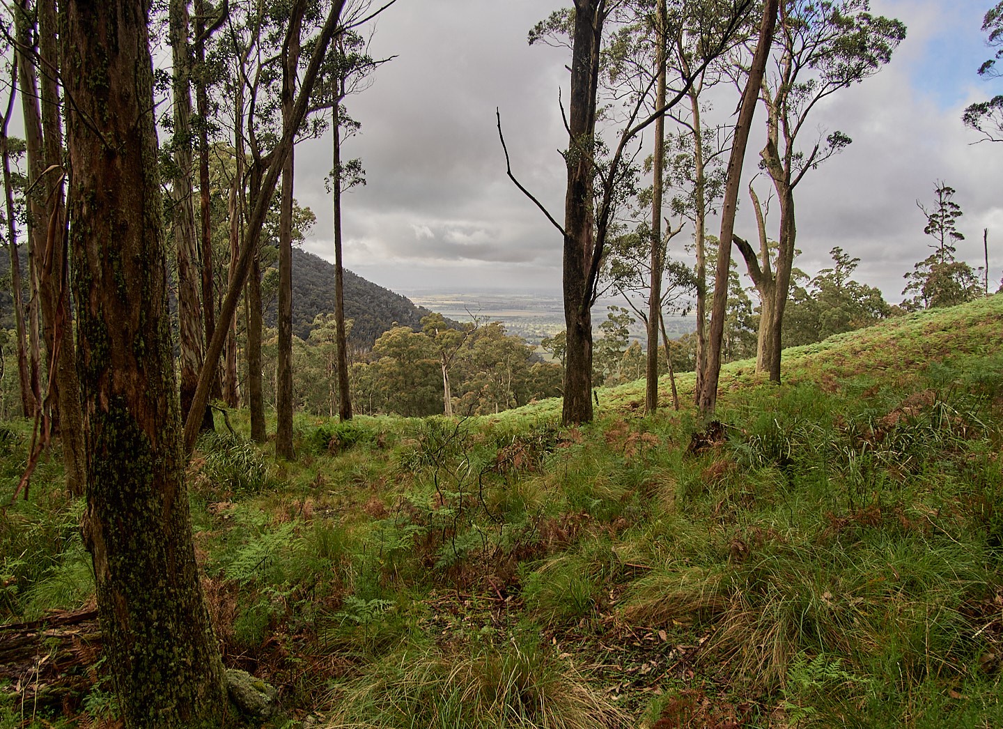
showing occasional signs of past logging. Morning tea was taken at a lookout
with spectacular views west towards Mt Langi Ghiran. Apparently Mt Langi Ghiran's outline
resembles a reclining pregnant (with an alien perhaps?) woman if you use some
imagination. We didn’t need imagination to see the showers approaching and
these kept us company on and off for the rest of the hike, fortunately as only
degrees of drizzle.
Happily the slashers and chainsaws
had been busy along the track as we followed it north. There were even large
containers of water deposited at one point but they probably weren’t meant for
us! Since the tea break, the track had been relatively flat across a saddle but
this changed as we approached Mount Sugarloaf. Uphill.
Without looking too hard I was
able to find seven Mount Sugarloafs in Victoria. This one probably had some
great views to reward us for a hard climb but these were mostly shielded by the
drizzle showers.
Gordon then lead us mostly
downhill east then south, eventually leaving Beeripmo Track, along
interconnecting paths and roads including Mt Cole Road then Camp Road back to
Ditchfields Camp. Just in time to beat the next shower.
Lunch was taken in the hut which
contained equipment and supplies belonging to the school groups. Tim Chandler (son
of former U3A Hiker, Julie) dropped in on us in the hut and chatted about
goings-on in the area. Tim’s family own Cave Hill Creek camp and was doing
logistical support for the school.
Mount Cole (or Mount Cold –
thanks for that line Colin) provides plenty of walking tracks with lots of
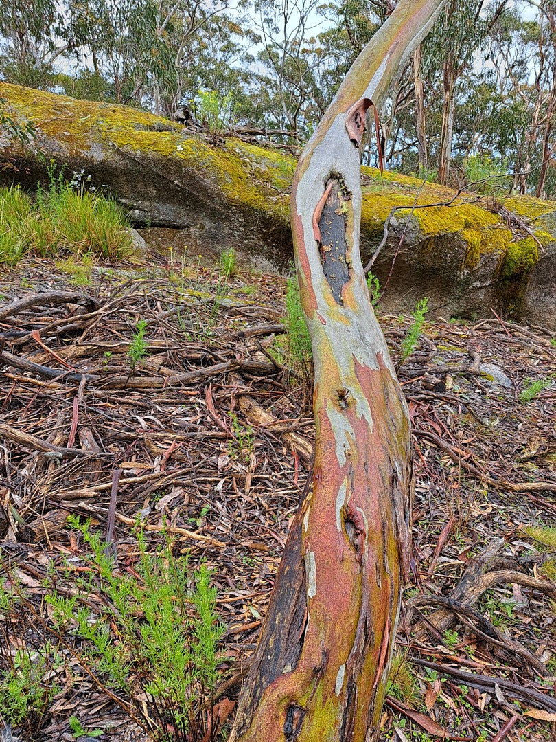
natural beauty. So much forest, flora and the views just keep giving.
Great invigorating walk thanks
Gordon!


.jpg)


Comments
Post a Comment