Vaughan Springs - Stones Gully, Castlemaine Diggings National Heritage Park Circuit - 13.5 Kms
Hike Report by Jan B
Gordon led our hike
today, it was a 13.5 kilometre circuit around Castlemaine Diggings National
Heritage Park, commencing and finishing at Vaughan Mineral Springs Reserve.
Ten hikers met at Kirks where we were warned to be prepared for rain commencing early afternoon. The day was grey but mild and temperatures remained ideal all day. The drive was scenic especially past Daylesford where the countryside was lush and green with a hazy mist over the mountains on the horizon.
Our first stop was at Guildford near The Big Tree, a huge river redgum noted for its’ size and fusion of branches. It’s estimated to be between 500 - 1000 years old, has a canopy measuring 34m and is on The National Trust Register of Significant Trees.
It was interesting to see sandbagging still in place around the buildings in Guildford and around the houses in Vaughan, many of which are very cute miners cottages. Both towns, being on the Loddon River have been impacted by our recent floods. This was especially evident when we reached the road down to Vaughan Springs Park and the gates were locked with signs CLOSED DUE TO FLOODING. We parked on higher ground and hiked down with trepidation. The closed park was a sorry sight of destruction with uprooted signs in their concrete footings, vegetable matter clogging fences showing the height of recent flooding, uprooted trees and plants misplaced haphazardly. The Loddon River was swollen and clogged with uprooted trees and vegetation which had been carried downstream.
Luckily, the ground was dry, so we fearlessly crossed the swollen river on the concrete causeway and commenced our hike in single file heading south on a path beside the river. The path was dry and well defined and after about 1.5 kilometres the Goldfields Track widened into a Fire Access/4WD track … walking was easy.
Gordon warned us of open gold mine shafts close to the road in this area, they were clearly visible as were remains of old chimneys. The main vegetation was tall, scraggly local gum trees.
At morning tea we followed a 'Cornish Chimney' up a hill at the site of the Tubal Cain Mine. The chimney was built with what appeared to be hand carved blue stone bricks. To avoid the cost and difficulty of building a tall upright chimney, Cornish miners built tunnels of bricks up the slope of a hill. As the hot smoke rises up inside it creates a difference in pressure known as a 'draft', which draws fresh air into the furnace. It then emerged from a small upright section at the top. Vents allowed the chimney to be cleaned.
Sadly, the mozzies joined us for morning tea and found us delicious. They plagued us along the hike, something else we can blame on recent rains.
Up and off again, we were determined to dodge and beat the rain that BOM was showing all around us, luckily we received only a few spots all day. We continued our circuit in a northerly direction on The Helge Track with a short distance overland, nothing too difficult. The Helge track is predominantly a 4WD track so was ideal for walking side by side and nattering. We suffered several short sharp hills and as usual they far exceeded the downs which were long and leisurely … how is that possible?
Further along we joined The Italian Hill Track, a rarely used 4WD road. We passed Nerine Rock, a large quartz like rock, several metres in length, quite spectacular … sadly no nerines. Further on we explored a disused slate quarry with metal structures, apparently part of old factory buildings left to ruin. Castlemaine slate has been quarried since the 1850s.
Throughout the day small yellow, pink and purple wildflowers bloomed beside the track. Of special note was the chocolate lily, unfortunately it doesn’t fruit chocolates … it’s’ flowers smell like chocolate. On The Italian Hill Track there was a cluster of small yellow orchids with brown spots.
More ups and downs followed with some farming land to the east and some severe water erosion beside the path. The circuit path completed, we hiked back along the fast flowing Loddon River to the cars. We had decided to finish the hike and then have lunch in the interest of keeping dry. The hungry hikers headed back to The Big Tree in Guildford and enjoyed our lunch at the park.
Thanks, Gordon for planning such a successful hike and for sharing your knowledge and thanks Andrew for always being there.
Photos by Andrew
 |
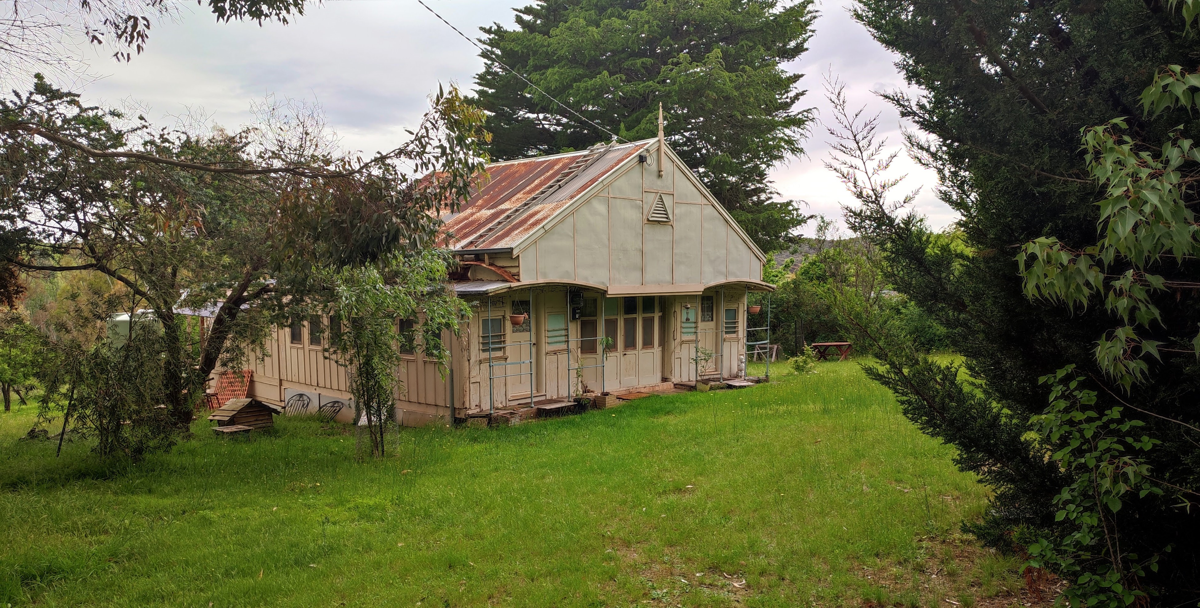
| Mark H's former family holiday holiday made from two railway carriages |


Comments
Post a Comment