Cape Bridgewater, Discovery Bay Coastal Park - 12 Kms
U3A Hike No. 220
Hike Report by Leona
Well, we thought we were an organised sane bunch of walkers, though the walkie talkie confusion with Geoff /Jeff on route, and the Where's Walkie Gordon? incident at the start could lead one to think otherwise.
Anyway, from that most memorable beginning this walk promised and delivered amazing diversity of scenery and wildlife as well as stunning natural features.
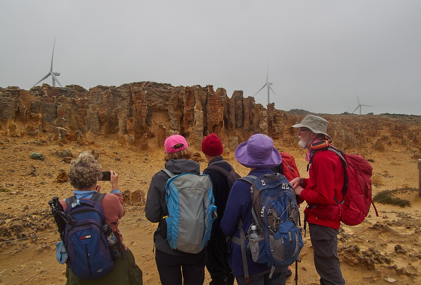
At the White's Beach start the juxtaposition of a quaint historic stone cottage against towering wind turbines alerted us to the contrasting nature of this walk. Those turbines were initially shrouded in mist as we meandered over alternating rocky, grassed, and "bonsai - ed" native vegetation. Layer upon layer of basalt and sandy limestone, along with evidence of lava flows, and features formed from water percolating through limestone has produced intriguing geological formations. These include caves, springs and blow holes which were much admired, photographed and pondered over.
Now as you know, yesterday we were enchanted (we won't mention the day before) but today we are petrified. Of course, I refer to the most anticipated and curious Petrified Forest. Much speculating and theorising within the group was sparked by two conflicting theories. The earlier - that sand engulfed an ancient forest of trees, sealing and petrifying them forever. The more recent explanation - the formation of hollow tubes of limestone eroded by millions of years of rainfall. Visualising a petrified forest of real trees remains far more intriguing and fantastical. Why let truth interfere with an excellent story?
Yet another WOW moment presented itself as a very decent number of kangaroos appeared like sentinels, lined up and alert, on the horizon above us. Big kangaroos, burley he man type kangaroos. Not to be messed with. So we gaped, exclaimed, photographed and moved on.
So did they.
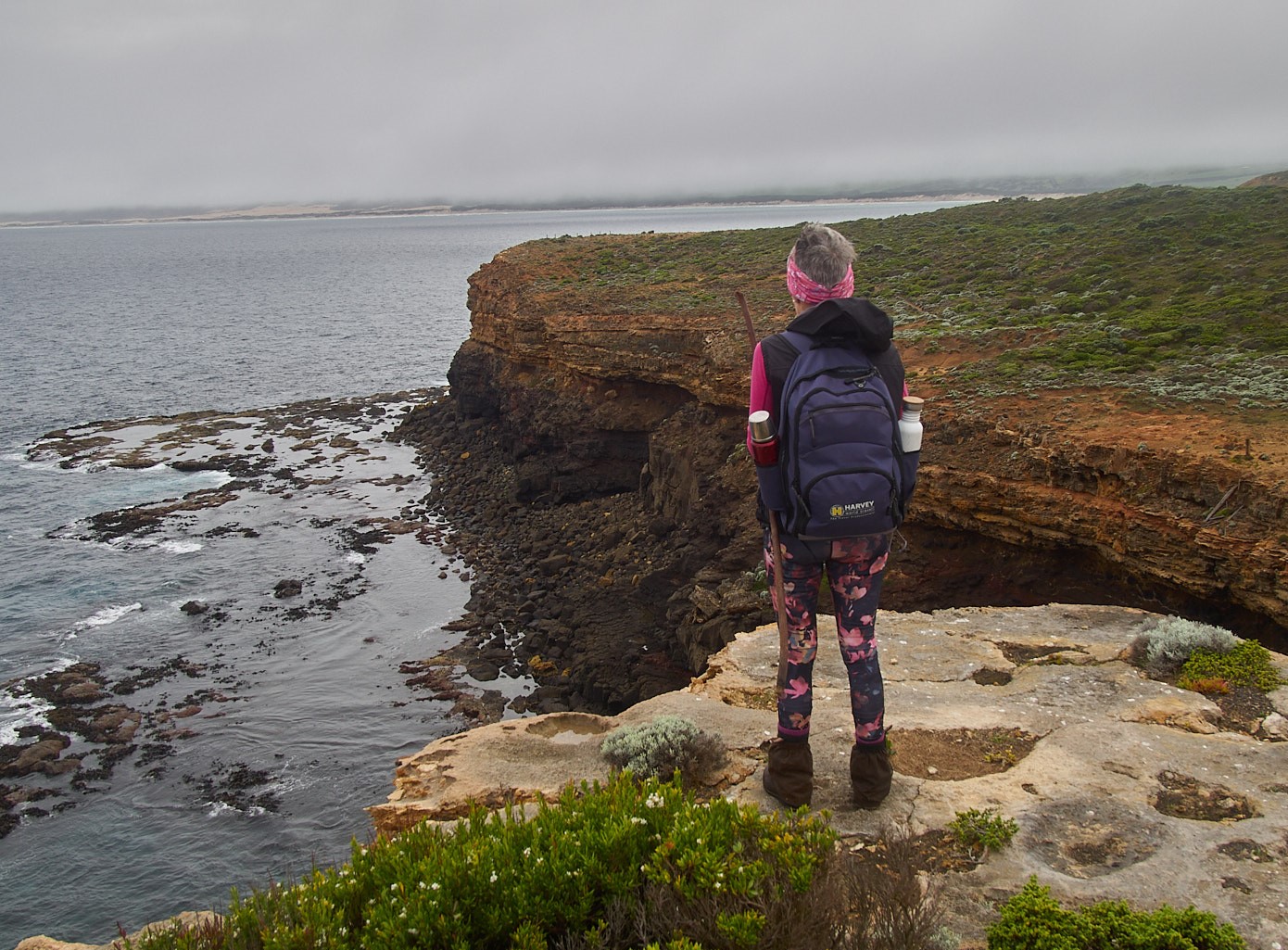
The highest cliffs in Victoria, at 135 metres above the ocean, were another highlight. They were formed by layers of volcanic ash called 'tuff' according to the signage.
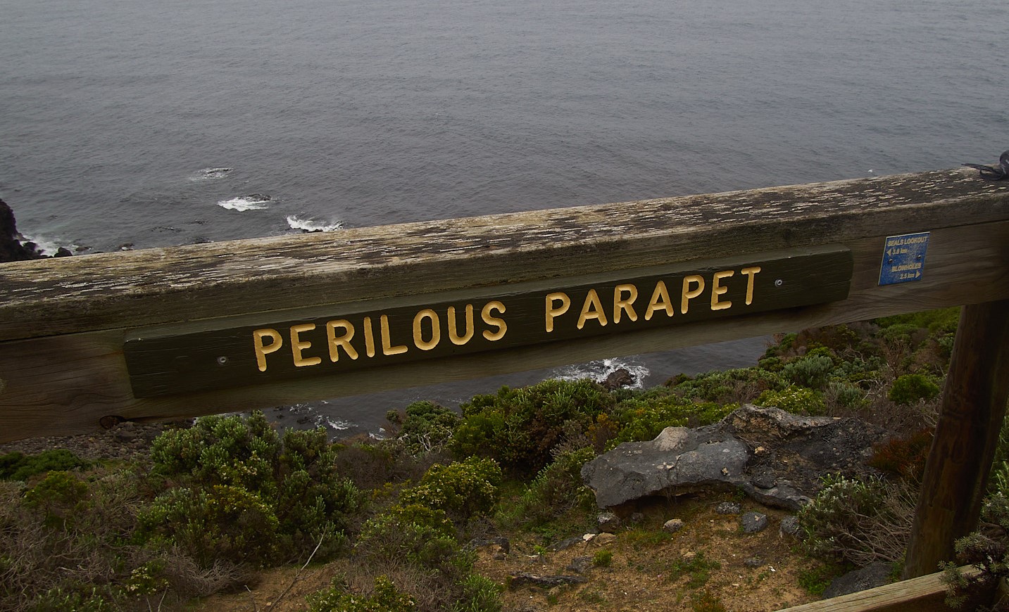
This section of the GSWW is well furnished with information boards and descriptive lookout points, my favourite was definitely Perilous Parapet. As we rounded Cape Bridgewater we had the luxury of two viewing platforms from which we spotted about 16 of the estimated 2000 Australian and New Zealand seals. Maybe they'd showered and applied deodorant, because we were able to sit and enjoy our lunch in close proximity to the colony.
Soon we were heading downhill towards Cape Bridgewater. It was a scene of outstanding beauty, verdant green hills with the town nestled at the bottom with its 4km long white sandy
beach, locally referred to as bridgie beach.
As we made the final descent the sounds of the poem The Ant Explorer reached my ears. Apologies to C.J Dennis and thanks to Lyn for her recitation.
"Our little legs were wobbly, our strength was nearly spent" ..........."a dreary bunch a weary bunch resolved no more to roam, we staggered down the cliff top and popped back home"
But wait, there's more. We found just enough energy to drive a short distance to the limestone Tarragal Caves. Another climb up to these spectacular formations, braving the bees but not a bat in sight, provided a spectacular vantage point across farmland, Discovery Bay and the lakes.
A great fitting end to an outstanding walk.
Many thanks to Andrew and Gordon for their organisation and leadership.
Photos by Mark B
The guidebook for the Great SW Walk can be purchased from greatsouthwestwalk.com
The best map of the walk can be purchased from www.meridianmaps.com.au
The best map of the walk can be purchased from www.meridianmaps.com.au


That was a great hike report Leona. It made me chuckle :-)
ReplyDelete