Steiglitz Circuit, Steiglitz Historic Park - 8.3 Kms
Hike Report by Gordon
THE EYE OF THE STORM
The signs were inauspicious during the week before this walk. On Sunday there were forecasts of torrential rain and flooding, on Monday the airports were over-crowded with Hikers flying north, on Tuesday old men with beards were frantically trying to complete the huge boats that had been sitting in their backyards for 20 years, on Wednesday my cat took to wearing a life-jacket and sleeping on the top of the tall cupboard in my bedroom and on Thursday morning there were only three hikers at the Buninyong meeting place. But it was not raining!
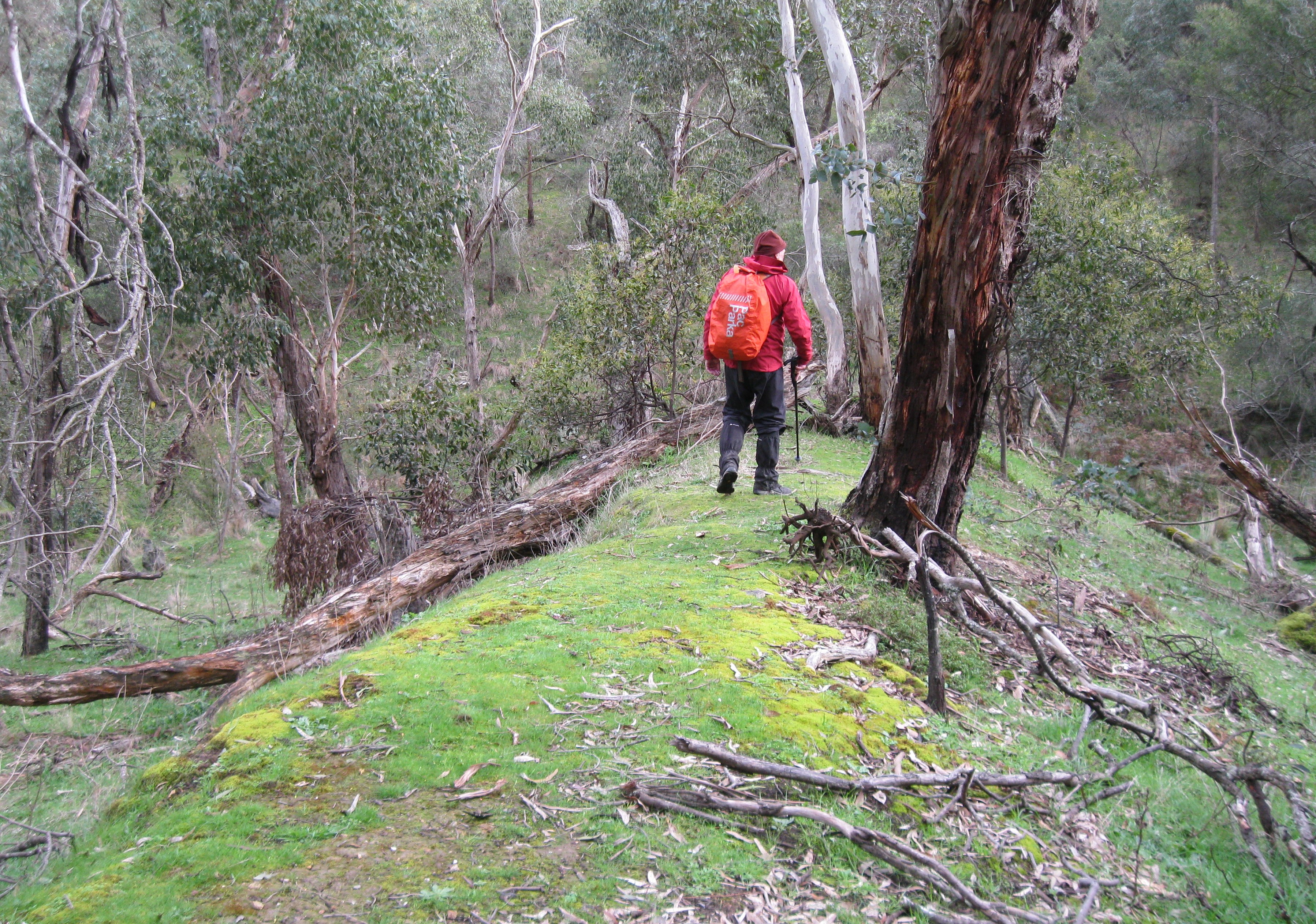
We drove to Steiglitz, already wearing full weather-proof clothing and parked by the historic Steiglitz Courthouse (opened 1874 and not needed after 1879). It was not raining. We donned packs and started off along a track which passed the many street signs of what was once a suburb of Steiglitz; the (modern) signs are all that remain of the streets. We soon reached the first crossing of Sutherland Creek (it was not in flood) and followed the creek along a narrow foot-track into a deepening and narrowing gorge. Eventually the track climbed steeply up the rocky hillside of the gorge and descended just as steeply to a ford. We crossed with dry feet. It was still not raining.
A long climb uphill along a gully, through forests full of wattle blossoms and cockatoos brought us to the Meredith Road and soon after we reached The Crossing Picnic Ground. It was not raining so we stopped for morning tea. Refreshed but wind-blown, we crossed the Grahams Creek ford (which was dry) and then followed the narrow stony foot-track of the Burchell Trail along the banks of Yankee Creek. At one point we stopped in a sunlit clearing for photos. The gully had signs of surface mining and of deep quartz mining: a large breached dam, quartz-roasting kilns cut into the hillside and many mullock heaps hidden in the bush. One more uphill section and we were at Durdidwarrah Rd and the site of the Alliance Mine of which there remain only a few bricks and a series of enormous mullock heaps.
It was still not raining as we set off on the final stretch, firstly along Durdiwarrah Road past the completely (except for two pine trees) vanished mining village of New Chum and then along a minor dirt road past a farm with an enormous collection of ‘things that might come in handy one day’. A few more mining relics and we were wandering through the remains of the village of Steiglitz, comparing the period photos on the signboards with the current reality of what is basically a ghost-town. Rob was particularly impressed with the Anglican church which was propped up externally because it had no internal bracing; available for hire, weddings, parties, anything.
Because it was not raining we stopped to chat to a touring cyclist with a massive load on his bike. It turned out the load was a portable rubber raft and collapsible paddles. He too must have seen the weather forecasts. The wind was getting up so we went on to Meredith for coffee.
On my return I listened to the news and weather. Triple fronted brick-veneer cold fronts were amalgamating and bearing down upon us, a Tasmanian Tiger has just been cloned, a sea-lion has been discovered 35km inland from the Victorian coast and the Four Horsemen of the Apocalypse are on their way. (Good thing some of us don’t believe the forecasts or the omens).


Bravo to you three hearty hikers! I think this is your best blog yet Gordon!
ReplyDeleteIt's 30 degrees in Saskatchewan. And it's not raining - just in case you were wondering 😉
Very entertaining report Gordon. 18deg up here at Girraween AND it's not raining
ReplyDeleteI don't think I have laughed so much reading a hiking blog - good one Gordon!
ReplyDeleteThe three intrepid hikerteers! Such an entertaining account, I too laughed all the way through.
ReplyDelete