Boots Gully-Charlesford Mine-Henderson Spring Circuit - 10.7 Kms
U3A Hike No. 193
Hike Report by Rick
On a very good day for hiking (cool and overcast) 16 hikers met at Kirks Reservoir at 7:45 for an 8:30 start exploring the small Basalt farming community some four kilometres east of Hepburn. Basalt has a recorded population of 10 persons and is named after the volcanic rock. Mt Franklin, an extinct volcano, is less than 10 kilometres away as the crow flies.
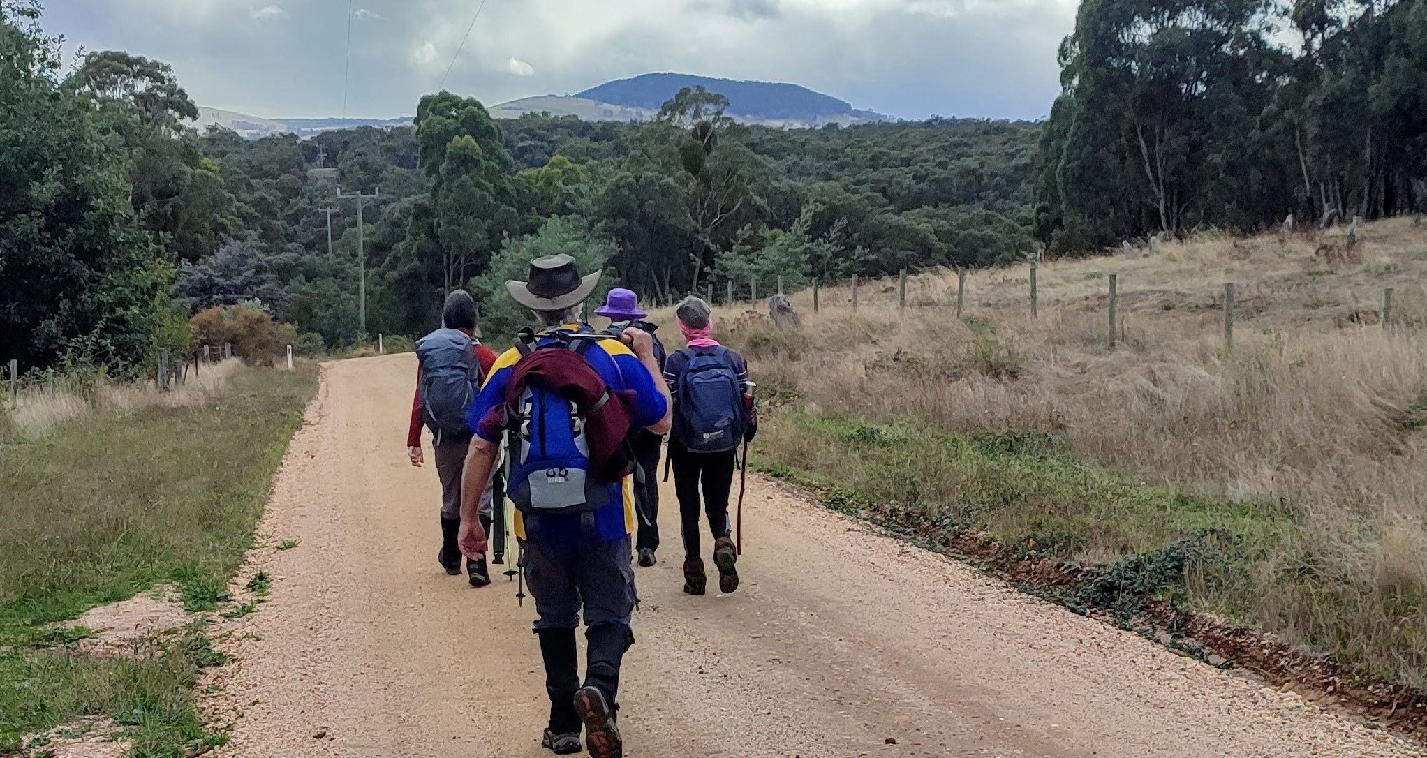
The hike started with a brief introduction of the area by Andrew and we quickly made our way off Basalt Road into the bush on a 4WD track toward the ruins of Charlesford mine, a gold mine that operated in the last half of the 19th century. Present in the area was a quartz burning oven. We proceeded on the 4WD track to Charlesford Dam where we had morning tea.
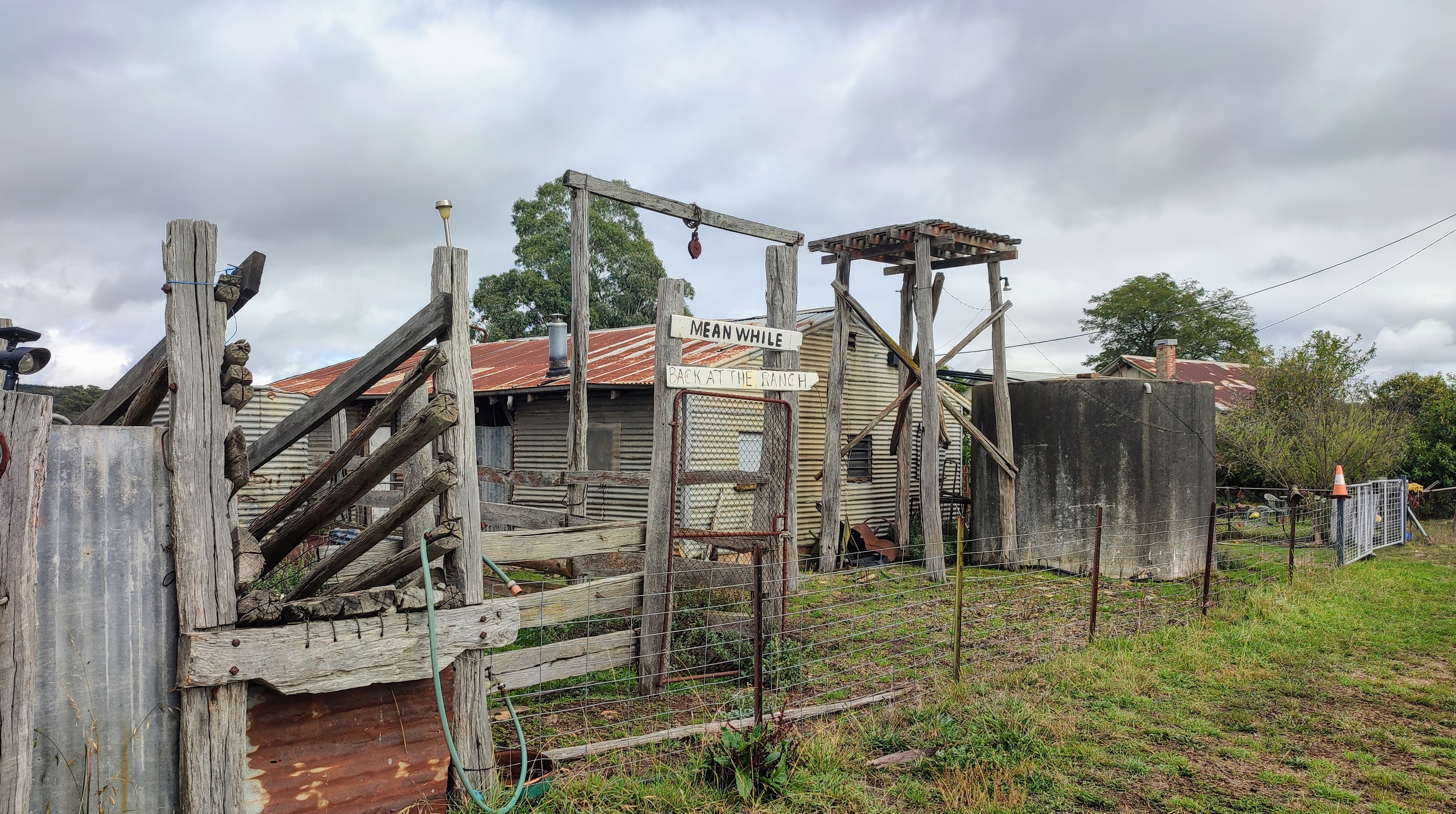
From the dam we passed a breached mining dam and continued to Old Werona Road leading back to Basalt Road and the township of Basalt. There was little to see in Basalt, a few old structures in disrepair the Basalt Rock Cottage Nursery and a placard marking the place where there had been a school where at one time 80+ students attended was pretty much it.
Shortly after exiting Basalt we turned into Boots Gully walking track and about one kilometre from Basalt we visited Boots Gully Slate Quarry and then Henderson Spring which was built by Gordon Henderson, a digger, who had worked on the Burma railway. Gordon’s brother William found a gold nugget weighing 221 ounces in Yorkies Gully which is in the immediate area.
Following the Henderson Spring Track, we once again returned to Basalt Road where we encountered boots hanging in a number of locations. On the road in front of a residence/farm there were many old, rusted pieces of farm equipment. In a dam there was a mannequin with its legs in the air wearing boots. The people in the area obviously have a sense of humour.
Turning off Basalt Road we followed a track toward the charcoal pits in Yam Gully. The process involved setting wood on fire and then covering it with dirt to minimise oxygen, thus producing charcoal. Continuing on the track and following old water races and the occasional piles of stones and rocks from mining we saw a 50 metre water race tunnel that cut through a hill. The goldfields required water which was supplied by water races that came from as far away as Twin Bridges 20 kilometres away.
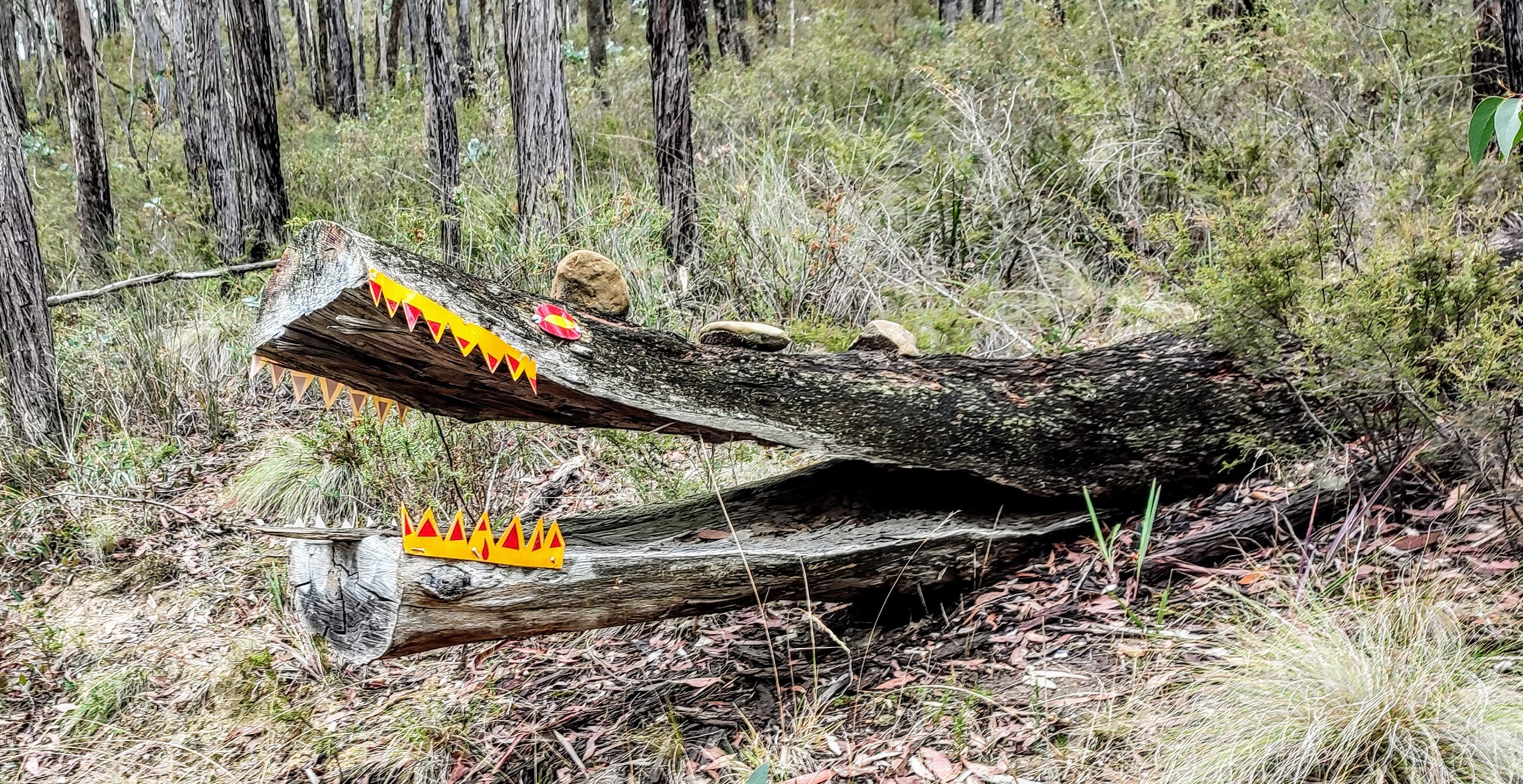
Eventually we turned into what is generously described as a seldom used track, for a couple of kilometres, climbing over/under and around logs and watching out for low branches. I wonder what people did before GPS. Eventually we came to a 4WD track and shortly after that Basalt Road and the cars.
Many thanks to Andrew for organising and leading our hike and to Ken for acting as the whip.
Photos by Andrew
LINKS


Love the boots, definitely meant for walking! Found Wally too.
ReplyDeleteGreat photos and report.
I love the boots too!
ReplyDelete