
Spring Gully Road - Wattle Gully Mine Circuit, Castlemaine Diggings National Heritage Park - 9.8 Kms

Hike Report by Jan
On a grey, cool Thursday morning it was a group of five adventurers who met briefly
at Kirks Reservoir, headed off in a two-car
convoy to Guilford to say hello to The Big Tree and then continued on to
the Castlemaine Diggings National Heritage Park.
We parked at the Spring Gully Mine carpark
which was the beginning and end of our 10 Km circuit hike. To quote the track notes, some of the walk
was on the Goldfields Track, some was along a rarely walked section of the Poverty
Gully Water Channel and some was on remote bush tracks. There were signs of mining activity all along
the walk, including deeply eroded gullies, deep mine shafts and an elaborate
water race snaking across the hillsides.
Every now and again, Mark kept us updated on
the likelihood of rain, and sure enough, there was a light but thankfully
temporary shower which wasn’t enough to even dampen our mood.
Golden everlasting wildflowers were scattered
along most of the route and there were blue pincushions and riceflowers in some
areas. A juvenile chough slowly made it’s
way along the water race in front of us at one point, much to the annoyance of
the person in front who just wanted it to get out of the way!
Gordon pointed out the Chewton Dingo Farm which
aims to maintain pure genetic strains of dingos. Then, it was up, up, up, to our morning tea
stop on top of a high point called The Monk where there were some attractive
views through the trees.
Someone had very thoughtfully set a campfire
for the next person who wanted to boil a billy and perhaps cook some
damper. Unfortunately, that wasn’t us,
so after having our water and snacks, we headed back downhill to join the Goldfields
track for a while before peeling off and following a water channel to the
perimeter of the Wattle Gully Gold Mine, which was first worked in 1853 until
around 2010. There are some large green
painted buildings visible from the track.
(Fun fact: there is a Wattle Gully Gold Mine Facebook page with
contributions and photos from people who actually worked there).
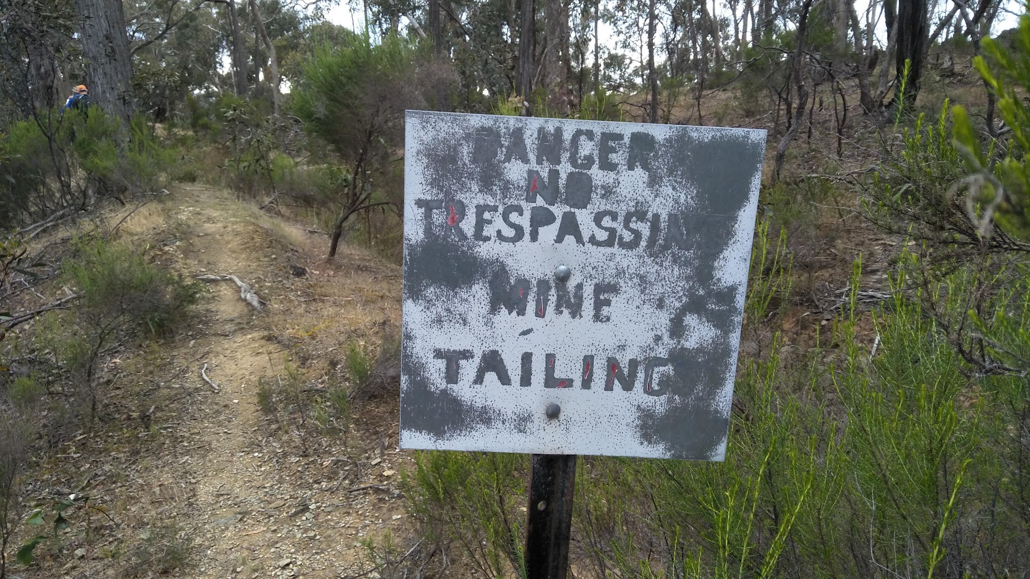
This mine has left some desolation in its wake
with large areas of bare white, yellow or blue/grey ground and there are
several signs next to the path warning “Danger Do Not Swim Do Not Drink”.
We investigated some nearby discarded rusting
debris and a well-preserved sluice gate on the water channel. After being forbidden (by our safety
conscious leader) to cross the channel via a very old rickety timber plank, we
climbed down into and out of it and eventually joined a dirt road up to a clearing
where we came across some rusty relics that Gordon was hoping would be a
submarine, but in fact, turned out disappointingly to be a very large boiler.
Following a lengthy inspection of these mining bits and pieces,
we walked along Jacobs Track and then a 4WD track for a couple of kilometres and
then headed downhill across country, narrowly avoiding being on private property, to
emerge near a dirt road that was only a short walk back to our cars.
We ate our lunches at the handy picnic table
and were entertained by various jokes.
My person favourite was from Mark H.
“Did you hear about the optometrist who fell into a lens grinder? He made a spectacle of himself”.
And then because we were very close to
Castlemaine, we HAD to visit Das Kaffeehaus for a delicious variety of coffees.
This hike was really enjoyable and interesting. Thank you Gordon for organising it.
Photos by Jan and Mark H


Looks like a lovely day.
ReplyDeleteJane
Looks like an interesting walk!!
ReplyDeleteSorry I missed it. Tganks for the great photos!