
Hike 160. Mt Clear - Mt Helen Circuit Hike 13.5km
Leaving Andrew's house, on a mild sunny day, we started south along Canadian Creek to Recreation Road.We were so fortunate to be able to follow a mostly bush trail beginning right in the heart of a suburban Mt Clear/Canadian street! Up to Mt Clear shopping centre and west down Whitehorse Road. Taking a left turn before the bridge over the Yarrowee river brought us in line with the Wallaby Track/Yarrowee walking trail. An easy saunter south along the flood plain past settling ponds to Docwra St and a chance to stop at the historic Magpie Goldrush and Pulpit Rock for a few of Ken's words of wisdom.
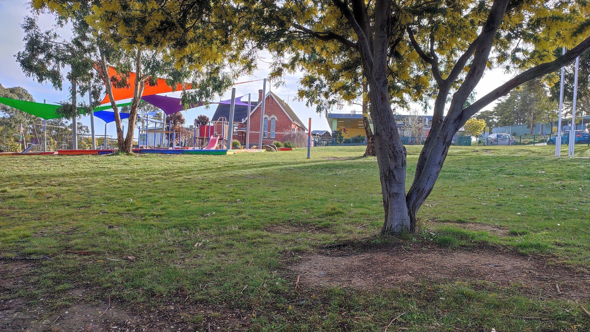
As we headed east past Magpie Primary School, still displaying buildings from another era, Docwra st became Charles Scorer Ct and the road behind the gate became All Nations Lane. A bit confusing here as we weren't sure whose 'driveway' we were supposed to encroach on as each road displayed a letter box. The GPS and Andrew's memory prevailed.
We were now amongst the pines in the Yarrowee Plantation with views across to Cambrian Hill. This hilly section was to test our fitness as a layer of clay on the boots added extra to the winter kilos. Travelling south then east connecting with Jones Avenue eventually took us back to Mt Clear's Olympic Avenue and north via the Canadian Creek trail. Reunited with our cars and a well-earned lunch, thank-you Andrew for stepping into Gordon's shoes for the day!


Comments
Post a Comment