Boots Gully - Charlesford Mine - Henderson Spring Circuit - 13 Kms
U3A Hike No. 157
Hike Report by Dick
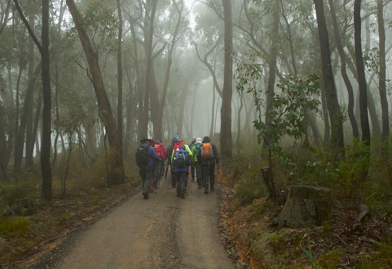
The U3A Hiking Group met at Kirks Reservoir carpark at 7.45
am on a cool and foggy morning. The seventeen
walkers rearranged themselves into cars and headed up the Midland Highway
towards Creswick. Shortly after Eganstown we turned left on to Basalt Road and
headed north to park at the southern end of the small Basalt farming community approximately
four kilometres north west of Hepburn Springs.
After an introduction by Andrew, who had selected the
interesting track, we headed south to Old Werona Road. From there we entered a series of winding
tracks that basically took us on an 13 kilometre circuit through a range of
roads, tracks and off track walking.
The foggy morning was cool but we were fortunate that the
forecast rain was mainly absent and our rain coats were only required for
warmth. The native vegetation was looking at its best being well wrapped in the
fog. The track was wet but not very slippery given the large sections of
underlying clay.
The area had been central to the mining activities of the 1860s
through to the 1920s. The evidence we could see was given additional meaning by
Andrew’s research of newspaper snippets of relevant information. Those who
dream couldn’t help but note the 220 ounce nugget found in the area and made a
mental note to return with gold pans.
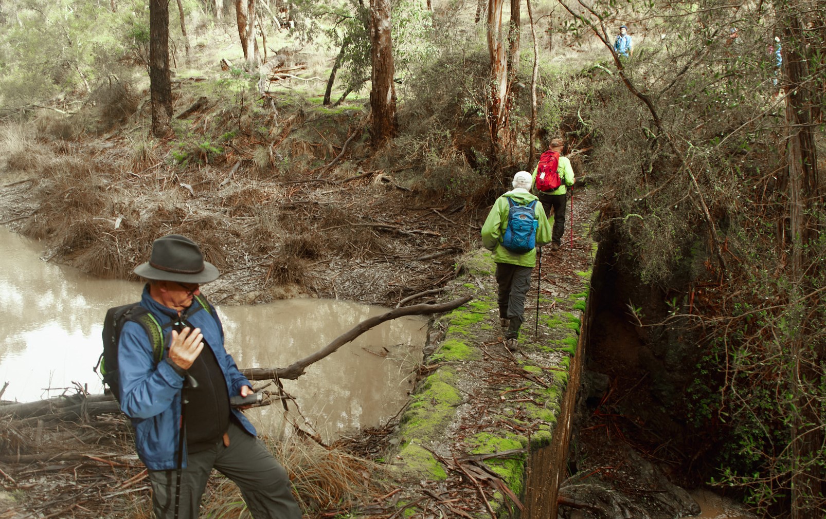
Our track was following Boots Gully and along a number of water
races at different stages. The most impressive
of all was the one constructed along an impossibly sheer rock face. The water
race clings to the rock and transported water for the miners of the 1860s. The
area had many signs of the activities such as the minimal test diggings through
to the large areas of sluicing and the occasional hut and quartz burning
furnace.
The walk took us over several creek crossings that were
flowing quite briskly as a result of the recent rain and in particular the 6 mm
that fell on the previous night. We walked well off track and along the very
edge of a precipitous gorge along the edge of Bald Hill Creek Gully.
The water in the old races ran around the contours and took
many additional twists and turns. At one
point a water race ran though a fifty metre tunnel and under the road. One end of the tunnel looked more like a
wombat hole. Clearly it needed closer
inspection. The other end was a little
smaller which would have prevented the exit of anyone who dared enter. It was a shame we didn’t have a wombat to
demonstrate that the tunnel was traversable because only an adventurous wombat
would enter it!
The circuit continued along small tracks that seemed rarely
used and as a result provided good experiences of finding our way over logs and
under low branches. The early wildflowers
were looking fresh after the rain. The
fungi of at least fifteen different species were clinging to the logs. These colours were in contrast to the range
of lichen colours.
The mining ruins included the extensive battery remains and
the associated settling pond above the creek.
The dam built with rock and cement contrasted with the earth banks of
all other dams that we normally see in such settings. The engineering was good
as it still stands after 100 years and many floods.
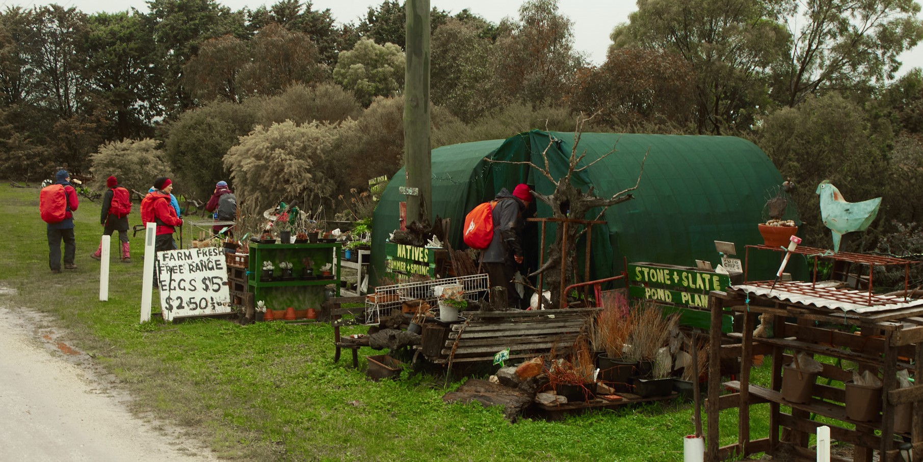
The farming community certainly had a sense of humour. We
soon realised that the legs disappearing into the dam were those of a shop
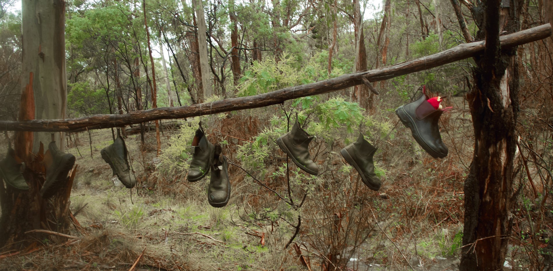
model. The two left feet helped allay our worries. The name Boots Gully prompted the obvious:
boots and many boots hanging everywhere. The other decorative items were the
aged and disused farm equipment such as stripped down tractors, ploughs and
harvesters. The families have very strong Italian connections and the farm and
road names to match.
One mining artefact at Yam Gully that we had not seen before
was the intact charcoal site. The wood
was piled high and set alight and then smothered with dirt which reduces the
wood to a valuable charcoal which was used by blacksmiths and the mining
industry.
Andrew gave us information about the slate quarry that was dug
well into a steep hill and very deep. This remote quarry which was difficult to
access indicates the efforts undertaken to produce this valuable building
material.
Another interesting location was the Henderson Spring
memorial that commemorates the local farmer, turned soldier, Gordon Henderson, who paid the
ultimate price in Burma in 1943 on the notorious Burma railway and who had earlier modified the spring with stone. The Spring has been of significance for this
pioneering family since the 1850s.
Another Henderson soldier, a First War digger, was welcomed
home and congratulated on his efforts at the Basalt School. (see the link at the end for Historical Notes to read more about the Henderson's)
The final section of the walk was along the Basalt Road and
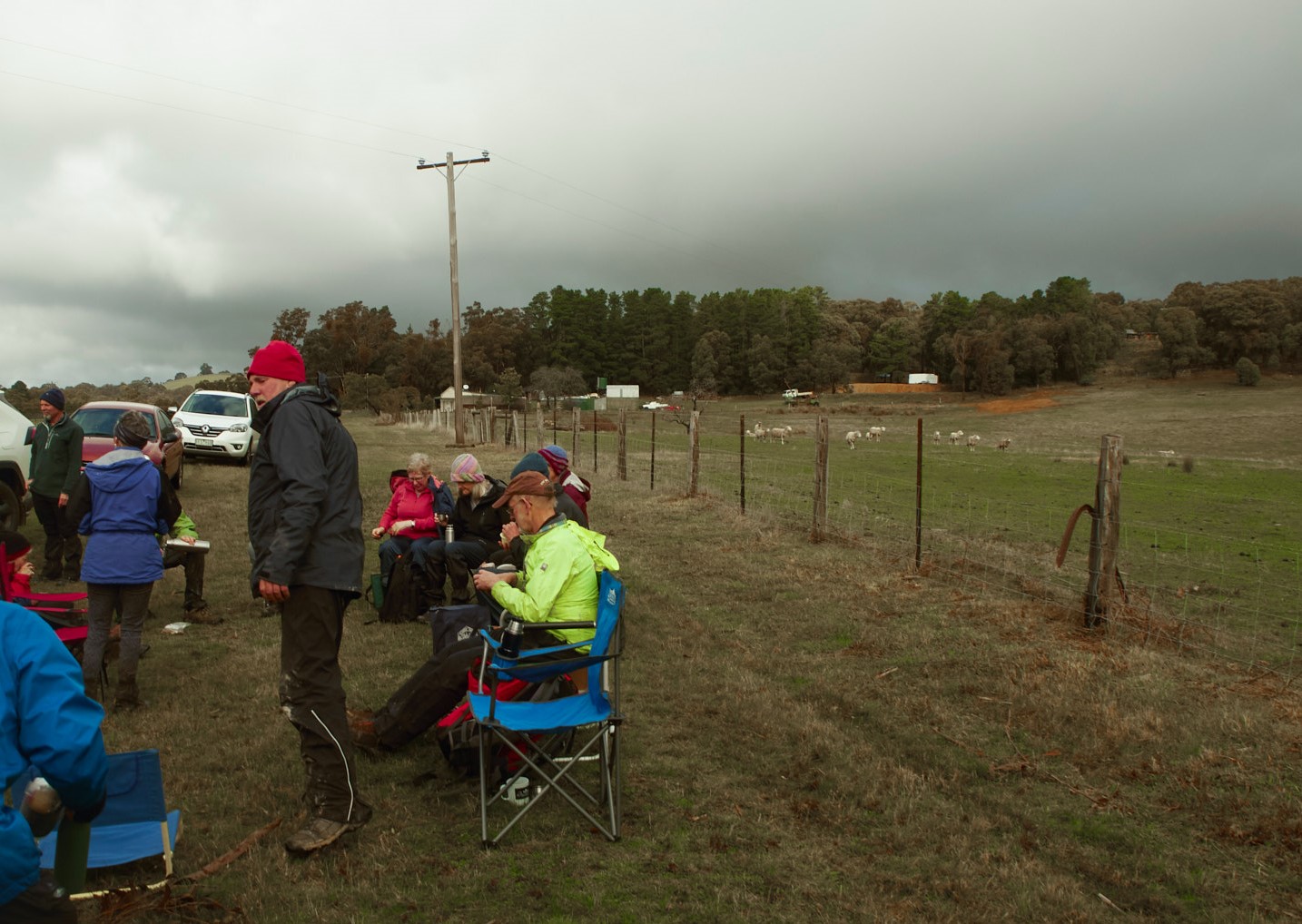
back to the cars. Even though we had taken a morning tea break on a log and a
lunch break at a dam we sat again in the sunshine as the fog lifted for final
cup of tea at the cars.
We had a wonderful 13 km of different and contrasting tracks, full of history and a wide range of vegetation. When it comes time for voting it will be on my shortlist.
Thanks Andrew for leading it.
LINKS












So sorry I couldn't make this one, sounds fascinating and fun. Great report Dick and wonderful photos.
ReplyDeleteWhat a terrific blog :-)
ReplyDeleteGreat report, great photos, great walk, great company...😉👍
ReplyDelete