Tipperary - Blow Hole (Daylesford) 16.8 Kms
U3A Hike No. 130
Hike Report by Geoff Howard
It seemed when we met at Kirk's at 7.45 that Andrew and his
good connection with the weather gods may have let us down as it was raining
lightly with a cold wind blowing down on us. By the time we had reached the car
park at Tipperary Springs however the cool misty start gave way to dry mild
conditions and, as we progressed the patches of blue above extended to overcome
the clouds bringing perfect walking conditions.
This week we were a group of ten. Enid Blyton may have
dubbed us the Tenacious Ten (in line with the Famous Five and Secret Seven for
the benefit of those with non-Enid Blyton childhoods).
Our starting point at Tipperary Springs was very peaceful
and idyllic and we were able to watch a family of wood ducks including six
little ducklings, making their way around the pond by the springs. Some of us also
drank at the spring before we departed.
The trail, as planned by Gordon and Andrew led us first from
Tipperary Springs picnic area, south along an old water race high up above
Sailors Creek to Twin Bridges. As with much of our walk, this afforded
beautiful views over Sailors Creek and its well vegetated valley. The creek was
flowing well so the babbling of the flow added to the comforting sounds
experienced as we walked.
While orchids were no longer flowering there were many
other wildflowers to greet us along our way. Most notable were the golden helichrysums,
(everlasting daisies) seen most abundantly in the later part of the walk and
clumps of brunonia (blue pincushions).
We had to be careful to heed Gordon’s advice not to talk too much and to
concentrate on the edge of the narrow track as it could have been easy to step
wrongly off the edge of the path to find ourselves tumbling down through the gorse
and blackberries towards Sailors Creek to end up as red, battered pincushions.
On the subject of pincushions, Kerren drew our attention to
an echidna that unsuccessfully tried to scuttle unnoticed from the path. Not
surprisingly, when discovered it tucked in its snout and presented as a faunal
pincushion, occasionally peeping out to see if we had gone. After most of the group continued, he, or she,
(Andrew never did turn our monotreme captive over to determine its sex) decided
it seemed safe enough to continue his/her way.
Reaching Twin Bridges picnic area, by the Midland Highway
we crossed the creek via large stepping stones, returning to Tipperary Springs
on the West side of the creek. From Tipperary Springs we continued north,
towards the Blow Hole. Again, much of
the walking was along old water races, constructed to support gold mining
activities in the 1800s. There were however the obligatory ascents and descents
as we moved from one gully to another or from one water race to another.
Many areas also still showed the ravages of sluicing, their moonlike, sparsely vegetated areas featuring uneven rocky mounds were
experienced. As we neared Bryces Flat
two young walkers temporarily became caught up in our group and when Marianne
turned around to continue her conversation with me, she was amazed to see that
I suddenly seemed taller and younger, but she was not fooled for long.
In crossing the creek at Bryces Flat we again were able to
use the large stepping stones placed across the creek as a more practical
option than using a bridge structure. The large trees piled up near the
crossing point demonstrated how turbulent the creek can be in flood.
After leaving Bryces Flat we climbed out of the creek
valley again, only to descend again soon after to inspect the very impressive
remains of a bridge where the stone work on both sides of the creek is still in
excellent condition showing how much effort and skill went into the
construction of public works through the later part of the 1800s. The well-cut
stones were capped with significant stone ridging and the tuckpointing was
still evident.
Soon after, we came upon groups of young women who were
from St Monica’s College in Epping, undertaking Duke of Edinburgh activities on
a five-day excursion.
The approach to the Blow Hole now features a lengthy, very
modern steel ramp down to the creek. We enjoyed lunch at the spectacular Blow
Hole, a tunnel cut through a cliff face as part of the early mining, to allow
water to be diverted from a loop section of Sailors Creek. Again, with good
water flow the waterfall cascading from the tunnel was worth viewing. After lunch
we walked around to the entrance of the tunnel, then proceeded back towards
Tipperary Springs, this time along the eastern side of the creek. Along our way
we passed several adits and the deep but well covered and rustically presented
Mistletoe Mine shaft, along with much country seriously disturbed by sluicing
operations of the 1800s.
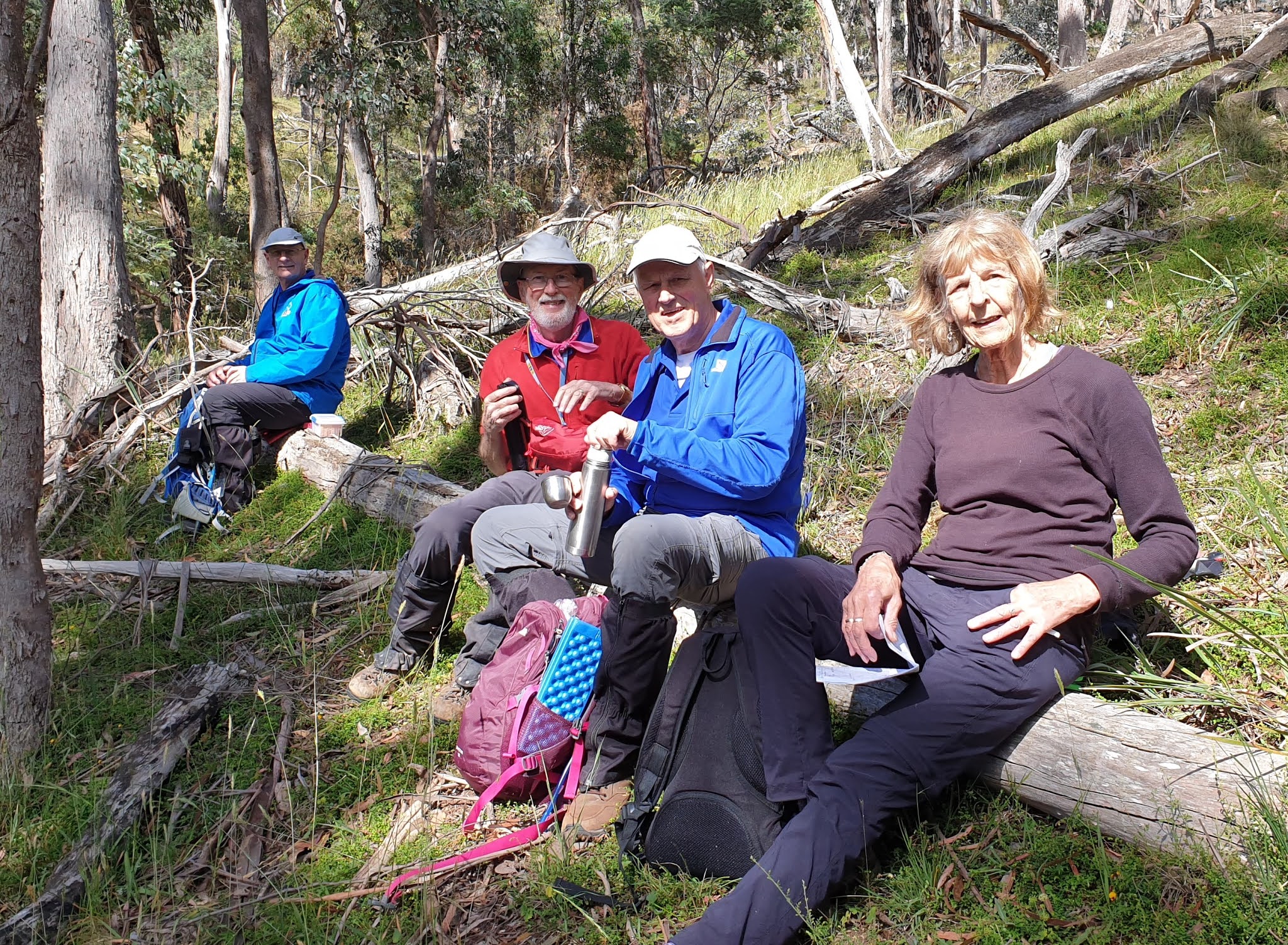
We reached our starting point just before 2.00 pm, where we
sat under the trees to enjoy a coffee, or billy tea, in Gordon’s case. Andrew
initially reported that his GPS device showed that we had walked 54 kms. He
then noted that he hadn’t reset it prior to our start so the boasting of our
epic endeavour would be unfounded as we had only covered around 17 kms.
Another very spectacular walk in near perfect weather
conditions. Thanks again Gordon and Andrew for your leadership.
Map
 |
| Interactive version of this map available via the link after the photos |


Comments
Post a Comment