Boden's Water Race - 13.6 Kms
U3A Hike No 125
Photo of Blue GroupHike Report by Jenette Callow
After meeting at Delacombe, three groups totalling twenty four hikers proceeded to
Surface Hill Road and parked alongside the Argyle Dam.
The hike was to view the water race and Dam network created
by Thomas Boden around 1870 to supply water for sluice mining operations at Surface
Hill and Watson’s Hill. The network was built using manual labour with the aid
of horse and dray. In 1878, the network was sold for 800 pounds to secure a
water supply for Smythesdale and Scarsdale. (more details in historical notes below)
The morning was quite cool with the rain holding off and
short bursts of sunshine brightening the bush.
The hike started at the Surface Hill Historical Reserve and
moved into the Ross Creek State Forest. This area was once very popular with walkers
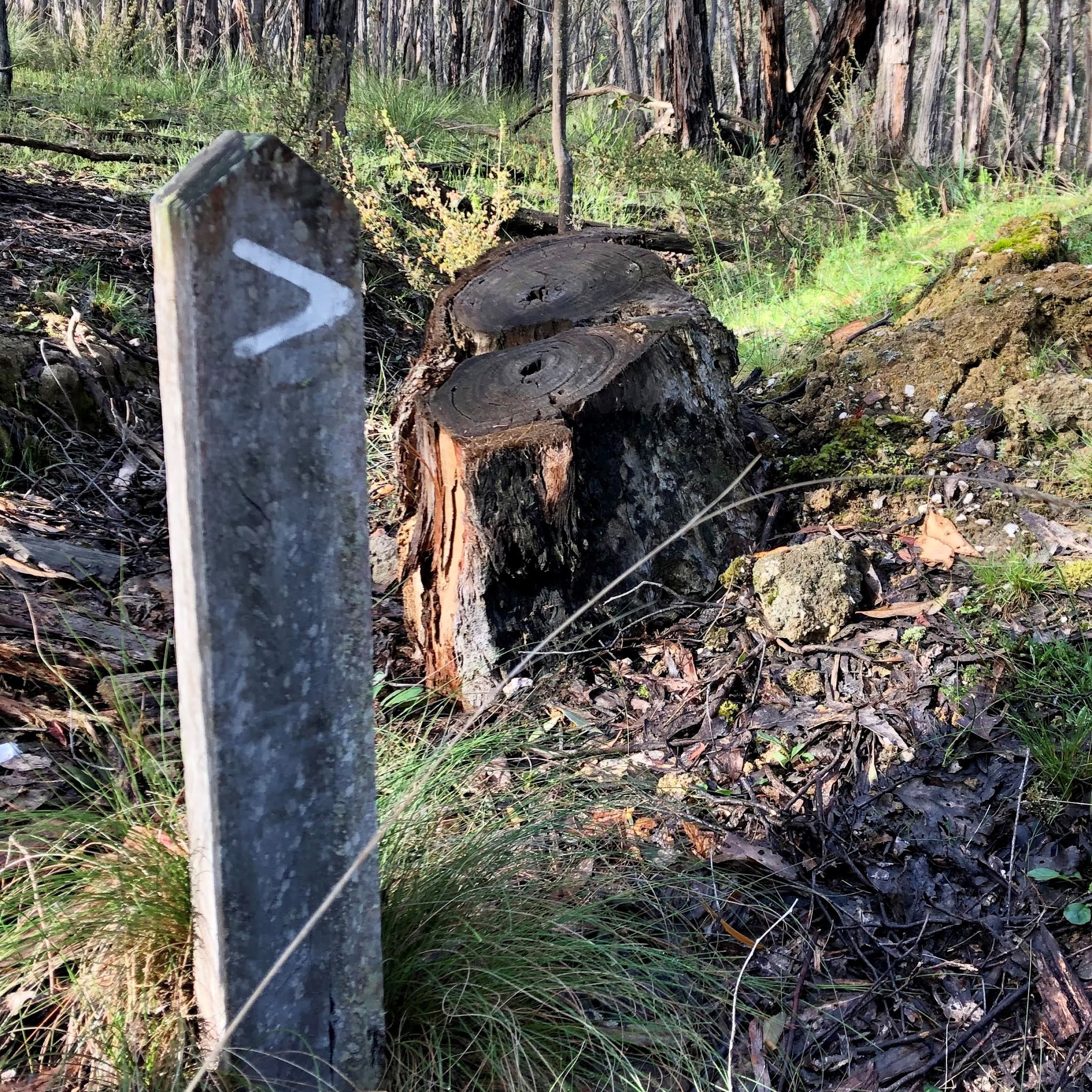
however, many of the trails and their markers have become overgrown and hard to see.
Boden Water Race Walk is located at the intersection of
Doctors Road and Wades Lane. The loop takes you past Boden Dam 1 and 2. At Dam 1, one can see a breached opening
where the valuable brass outlet pipes and valves were removed to be reused at other
locations.
Dam 2 provided entertainment with the uplifting croaking of
resident frogs. Our return to the cars took us on an overgrown water race and
the opportunity to view the remains of the Surface Hill mining area
disturbance.
An enjoyable walk on various surfaces with no outstanding
hills and an abundance of wildflowers. I was lucky to find a Bearded Greenhood
Orchid.
Thanks to Andrew, Tim and Gordon.
Photos by Mark, Jenette and Andrew
CANARY WORM
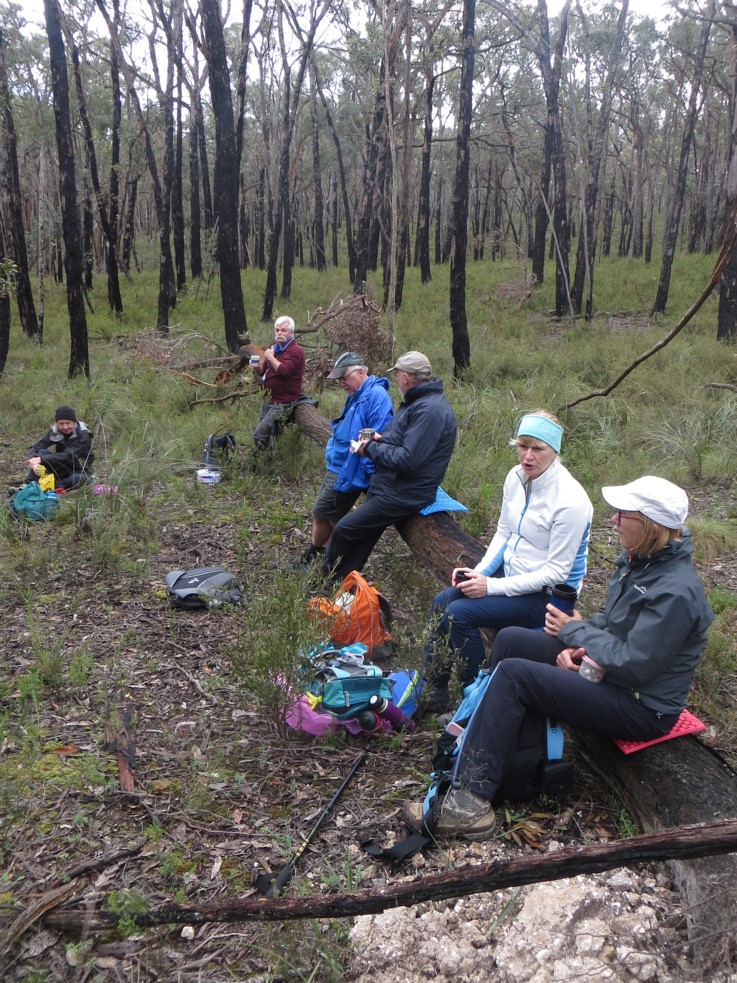
SOME MEMBERS OF GOLD GROUP ENJOYING MORNING TEA


Comments
Post a Comment